Monterey Peninsula residents could soon be living on an island as mammoth flooding threatens to cut them off from the rest of California.
The state has been hammered by a cascade of atmospheric rivers – long, narrow regions in the atmosphere that can carry moisture thousands of miles.
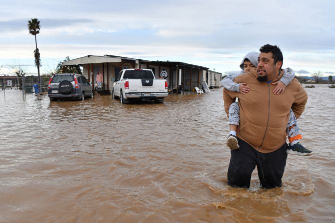
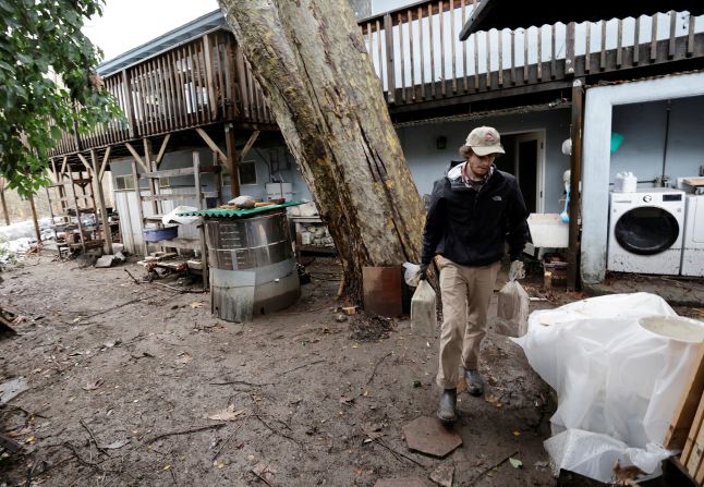
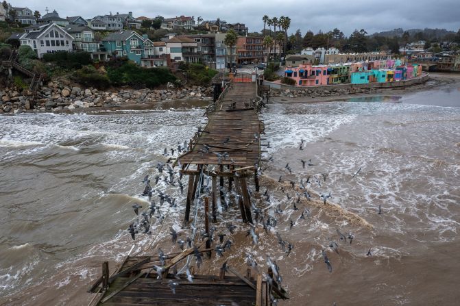
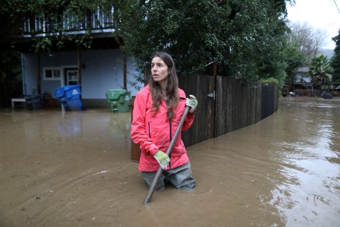
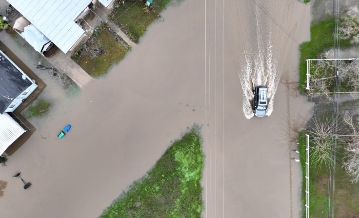
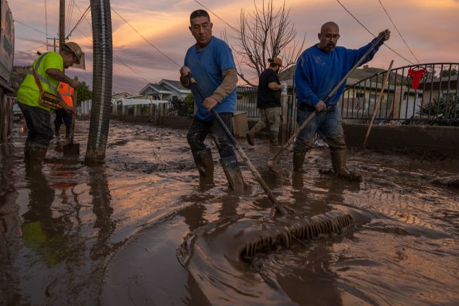
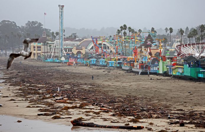
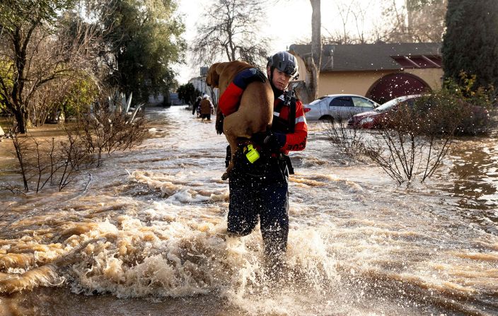
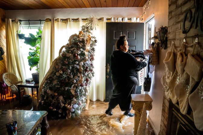
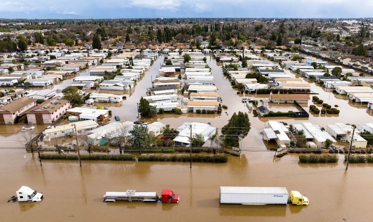
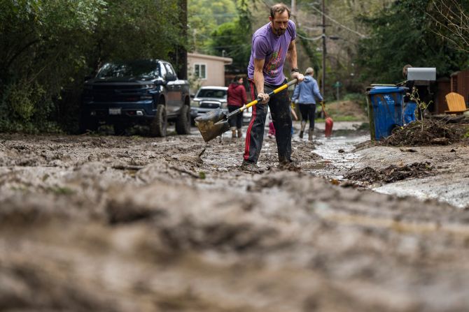
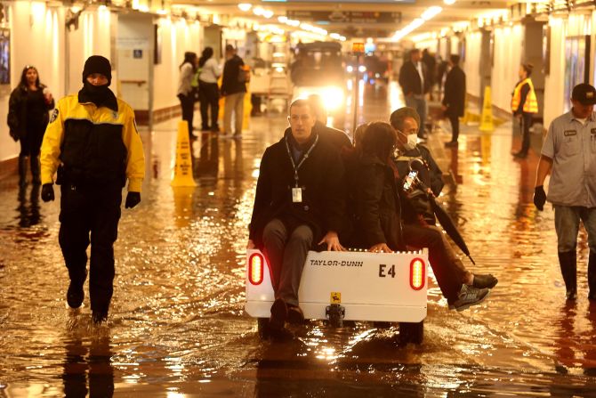
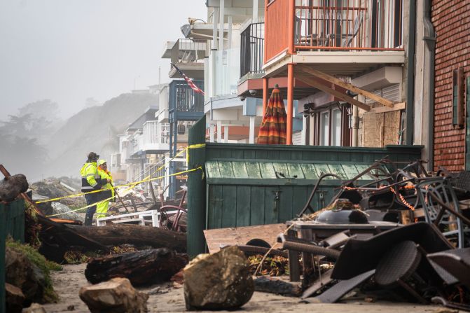
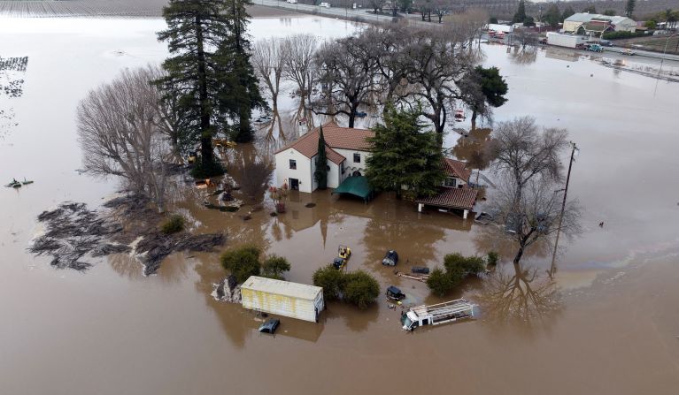
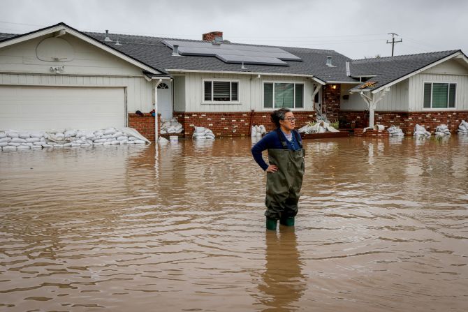
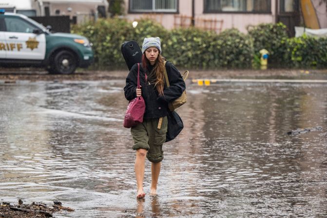
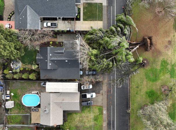
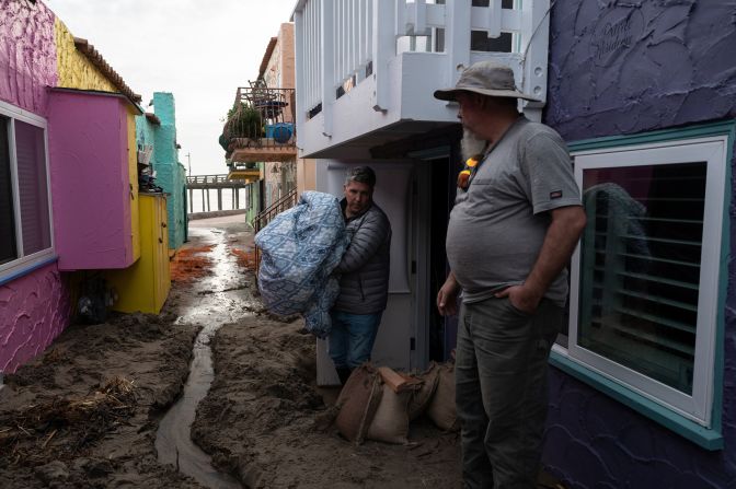
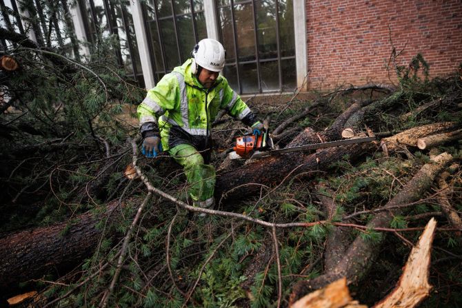
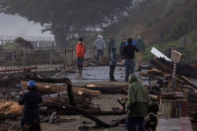
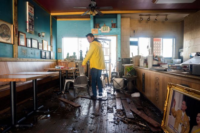
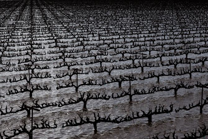
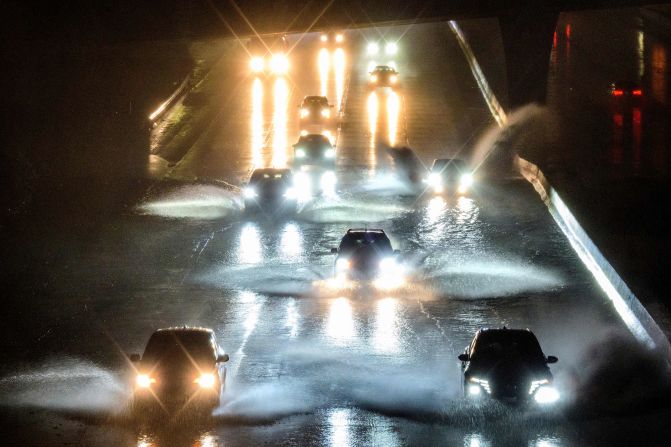
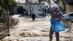
At least 18 people have died, neighborhoods have turned into lakes, and countless homes have been destroyed as a string of storms toppled trees and paralyzed communities over the past two weeks.
But a sliver of good news emerged Thursday: The nearly relentless rainfall has lifted much of California out of “extreme drought” conditions.
And many walloped communities are getting a brief respite from brutal weather Thursday. But cities are still inundated – and more storms are on the way.
‘Monterey Peninsula may become an island’
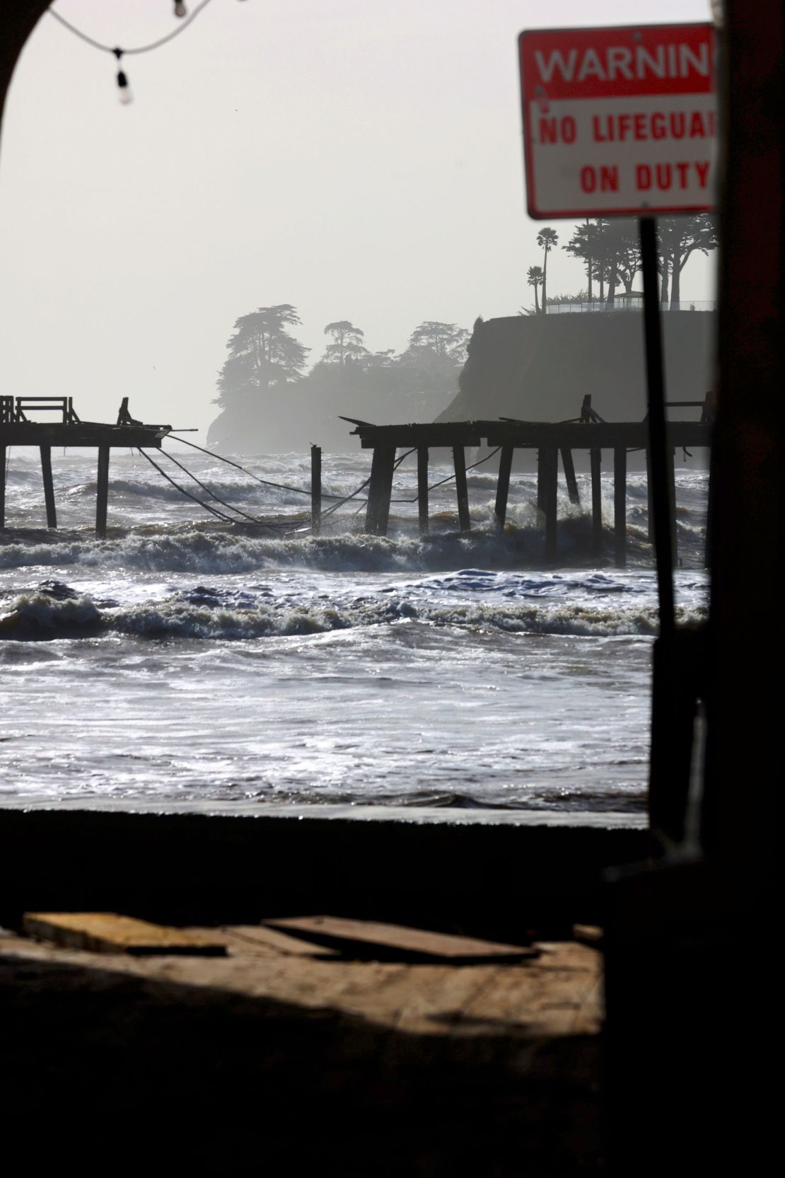
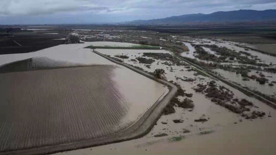
Just south of the San Francisco Bay Area, cities including Monterey, Carmel and Pacific Grove on the Monterey Peninsula could soon be severed from the rest of California due to epic floodwater.
“If anyone was here in 1995, you know that during a large flooding event, the Monterey Peninsula became an island – people were either stuck on one side or the other,” Monterey County Sheriff Tina Nieto warned Wednesday evening.
“And we anticipate that we’re going to go into a similar situation, but not as bad. Some of the roadways are going to be closed, and you could be stuck on one side or the other.”
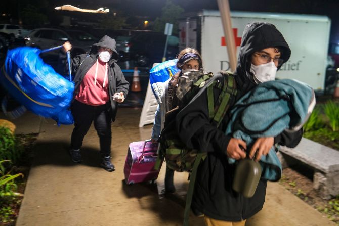
The sheriff’s office upgraded evacuation warnings to evacuation orders Wednesday in low-lying areas near the Salinas River.
“Monterey Peninsula may become an island again like it did in the ’95 floods, so please start preparing now,” the sheriff warned.
Nieto said it could be days before residents are allowed to return home, as crews need to make sure the area is safe.
More ferocious weather will slam the West Coast
According to the Storm Prediction Center, here’s what’s in store for California as another round of storms heads its way:
Thursday: Heavy rain will be confined along the northern California coast and into Oregon and Washington through Thursday night, with a slight risk of excessive rainfall in effect for northwestern California.
Friday: An atmospheric river will likely pummel the northern California and central California coast on Friday. Winter storm watches will likely begin across the Sierra Nevada.
Heavy snowfall could lead to dangerous mountain travel conditions Friday and Saturday at elevations over 5,000 feet and in the northern and central California passes.
Saturday: A second system will move in on Saturday, and rainfall will spread south and begin to impact the whole state. Excessive rainfall threats will likely be issued for central California.
Officials urge residents to stay off roads
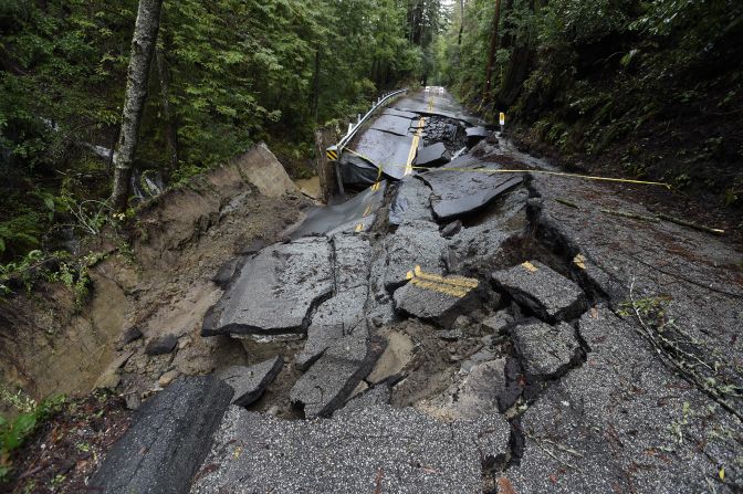
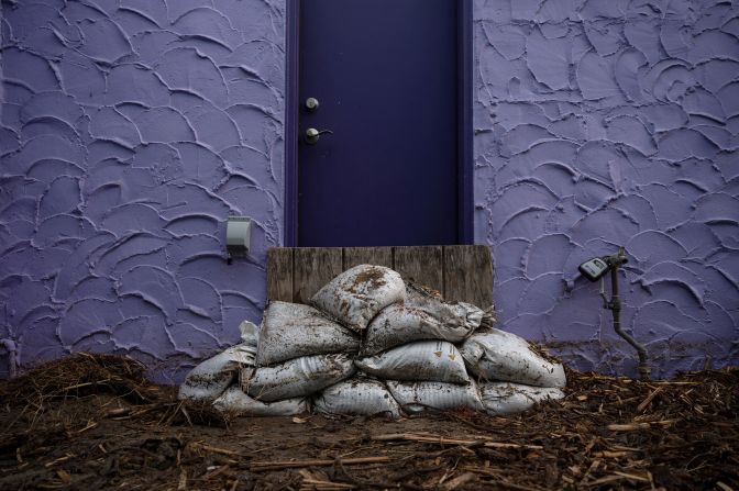
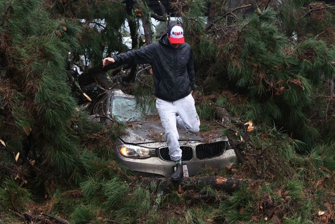
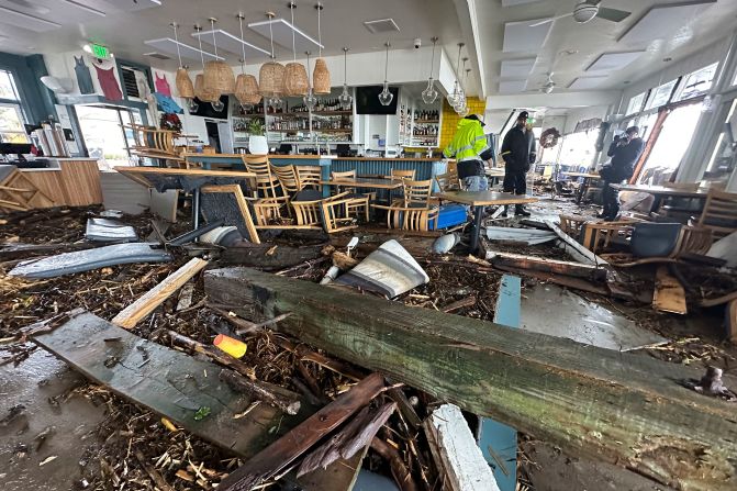
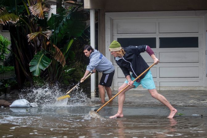
California's flooding, in pictures
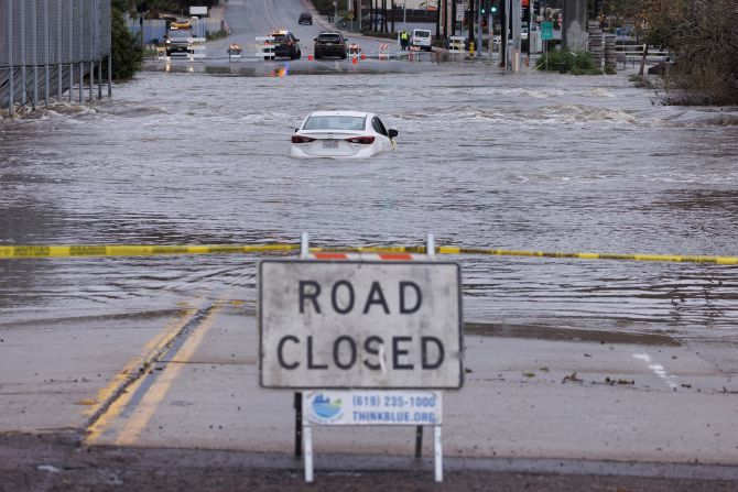
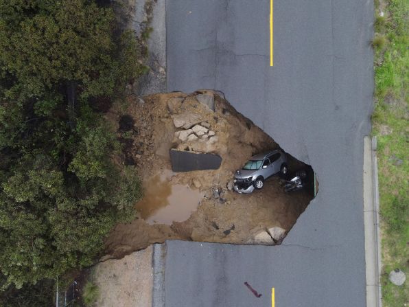
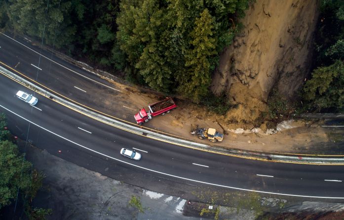
The recent storms have crippled travel and left dozens of highways inoperable.
At least 40 state routes were closed as of Wednesday night, state transportation spokesman Will Arnold said.
“We’re asking the public: If you don’t need to be on the roadways, please stay home and avoid any non-essential trips,” Arnold said.
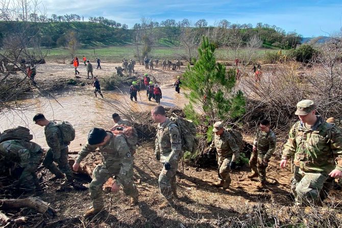
Meanwhile, more than 200 rescue personnel were searching for missing 5-year-old Kyle Doan Thursday after he was swept away from a vehicle surrounded by floodwater on Monday in San Luis Obispo County.
Dive teams swam through a creek while search teams on the shore identified and marked brush piles, where authorities believe the boy may be. More than 100 members of the California National Guard sifted through the piles looking for Doan. Firefighters and other personnel were also digging in areas covered by mud and debris left by the storm.
“This is a technically challenging search,” said Chief Deputy Nate Paul with the San Luis Obispo County Sheriff’s Office.
Drought conditions improve, but still exist
Less than 1% of California is now under “extreme drought” – down from one-third of the state just two weeks ago, according to the latest US Drought Monitor report published Thursday.
“Intense precipitation in California the past few weeks – particularly late December and early January – has significantly reduced drought intensity in California,” according to the US Drought Monitor.
In 16 days, swaths of California received 50% to 70% of the amount of precipitation that they would usually get in a whole year, according to the National Weather Service.
Isolated areas, especially in the mountains near Santa Barbara, have recorded more than 90% of their annual precipitation.
But more than 95% of California is still under some type of drought designation.
Large portions of the state remain in “moderate” or “severe” drought “since moisture deficits have been entrenched across some areas for the last 2-3 years,” the drought summary said.
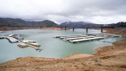
The recent rains have “provided a generous boost” to key reservoirs in the state, but most are still below the long-term average for this time of the year.
CNN’s Joe Sutton, Brandon Miller, Taylor Ward and Robert Shackelford contributed to this report.


