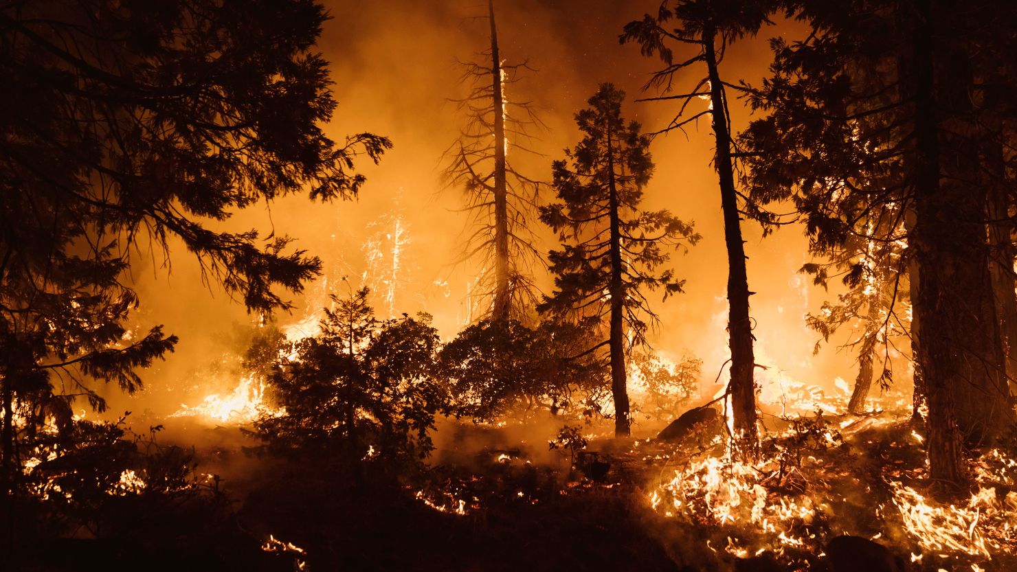
The climate crisis is among the key factors in a new assessment that shows more than 85% of California’s rural and unincorporated land is now in “high” or “very high” severity zones for wildfire danger, the state’s Department of Forestry and Fire Protection (Cal Fire) recently announced.
California’s new proposed Fire Hazard Severity Zone map, which analyzes only the land that Cal Fire is responsible for and is used for things like building standards, real-estate disclosures and future planning, is based on long-term data and created to last a decade or more. The previous version, which was done in 2007, was considered out of date.
The amount of land in “very high” severity zones saw a significant jump, increasing by 14.6% in the fresh analysis. If the proposed map is approved, nearly 17 million acres – an area larger than the state of West Virginia – will be in Cal Fire’s worst designation.
“A lot has happened since 2007,” Cal Fire said in a release announcing the update. “Using the best available science with academic researchers and others, this updated map reflects the impacts of a changing climate and includes a variety of other key factors.”
Around 98% of California was in drought conditions this week, according to the US Drought Monitor, as the state remains in the grips of a multiyear megadrought fueled by warmer temperatures and drier conditions.
As recently as 2018, California saw the largest, deadliest and most destructive wildfires in state history. In the past five years, California has seen an average of more than 7,000 wildfires each year, consuming an average of over 2 million acres, according to data from the governor’s office.
The proposed map includes only rural and unincorporated areas – cities and large urban areas are excluded, but are expected to be added in an updated version next year.
Dozens of meetings to discuss the findings are scheduled over the next several weeks to allow for public comment before the map is officially adopted.
“CAL FIRE’s fire scientists and wildfire mitigation experts developed the map using a science-based and field-tested model that assigns a hazard score based on the factors that influence fire likelihood and fire behavior. Many factors are considered, such as fire history, existing and potential fuel (natural vegetation), predicted flame length, blowing embers, terrain, and typical fire weather for an area. These zones fall into the following classifications – moderate, high, and very high,” the agency explained.
Cal Fire said the new map should help communities tailor their wildfire planning and preparedness efforts to the most vulnerable locations. The zones are also used to determine where defensible space standards, wildland-urban interface building codes and the State Minimum Fire Safe Regulations are required, according to Cal Fire.
Correction: A previous version of this story mischaracterized how Fire Hazard Severity Zone maps are used. They are used for building standards and real-estate disclosures, among other things.


