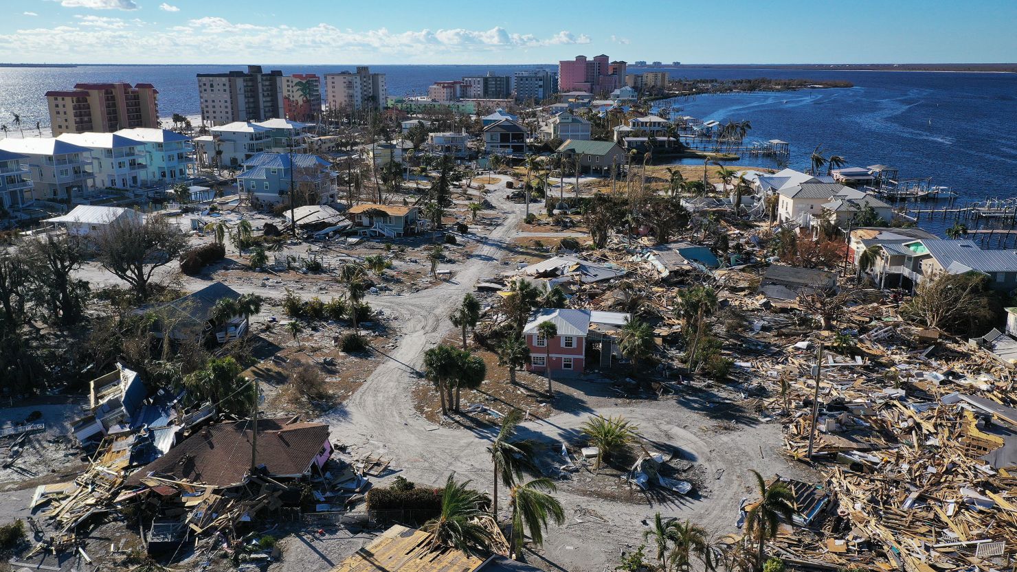
Hurricane Ian last week slammed into one of the fastest-growing areas of the country, putting hundreds of thousands of people in harm’s way — many of whom had never experienced a hurricane.
Florida has added nearly 3 million people since 2010. And the Fort Myers area, which was ravaged by Ian’s deadly storm surge, was recently named the sixth fastest-growing city in the country by the US Census Bureau. The population in the Fort Myers-Cape Coral metro area was around 444,000 in 2000, according to Census Bureau data. By 2021 it had ballooned to more than 787,000.
Southwest Florida’s population has “exploded in part because it’s the cheapest part of the state to live,” according to Jesse Keenan, a professor of sustainable real estate at Tulane University’s School of Architecture, who told CNN that “there has been a huge amount of growth in the past several decades.”
Florida, which has a reputation for attracting retirees, has recently drawn new residents from parts of the country that historically don’t have much experience with hurricanes. In 2019, Florida saw the most migration from Northeast states including New York, New Jersey and Pennsylvania, according to the Census Bureau, in addition to states in the Midwest.
The influx comes as scientists warn that hurricanes are becoming more destructive, with larger storm surges due to sea level rise and a new propensity for strong storms to rapidly intensify.
Those trends combined with the region’s growing population, housing and infrastructure have made the coast even more vulnerable to strong storms.
But little has been done to dissuade people from moving into the danger zone, experts told CNN.
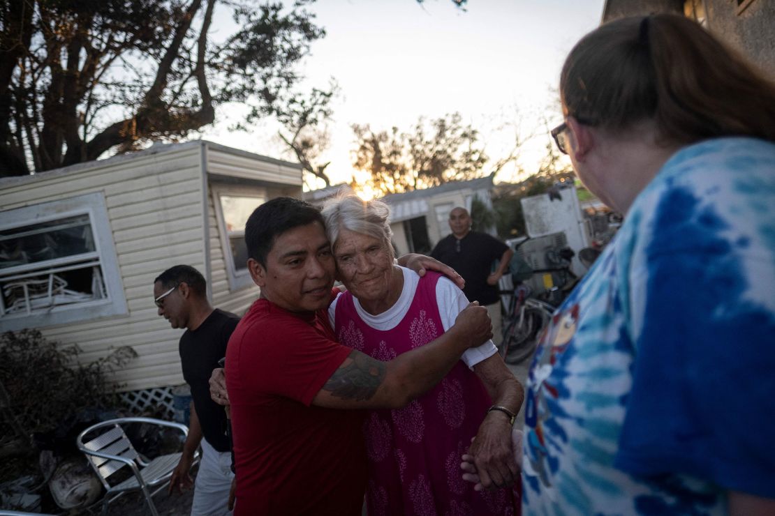
Southwest Florida is attractive in large part because it has a good quality of life – it’s sunny, warm and relatively cheap.
But something else is at play: In 2011, Florida’s Republican-controlled state legislature loosened decades-old state regulations meant to keep development in high-risk areas at a reasonable pace, or to discourage developers from building on low-lying wetlands, Keenan said.
Around the same time, former Gov. Rick Scott and Republican lawmakers approved a state budget that got rid of the Department of Community Affairs, a state office regulating growth and development.
“That opened the door for unrestrained development in ways that put people at a lot of risk, particularly flood risks,” Keenan said.
The weakening of those regulations was cheered by Florida’s business community and real estate sector, which framed the move as supercharging economic growth. But that growth started happening in riskier areas that are more vulnerable to storms.
“The bottom line is the state backed out and the counties were left to their own devices without any adult supervision,” said Keenan. “You build where the land’s cheap, and you sell that housing at a comparatively lower price. It was a race, and storms like this really force everybody to take a water break and reevaluate their lives in many ways.”
Jeremy Porter, senior research fellow for the climate risk nonprofit First Street Foundation, also noted that hard-hit Cape Coral was built on a floodplain.
“There’s a tremendous amount of risk,” Porter said.
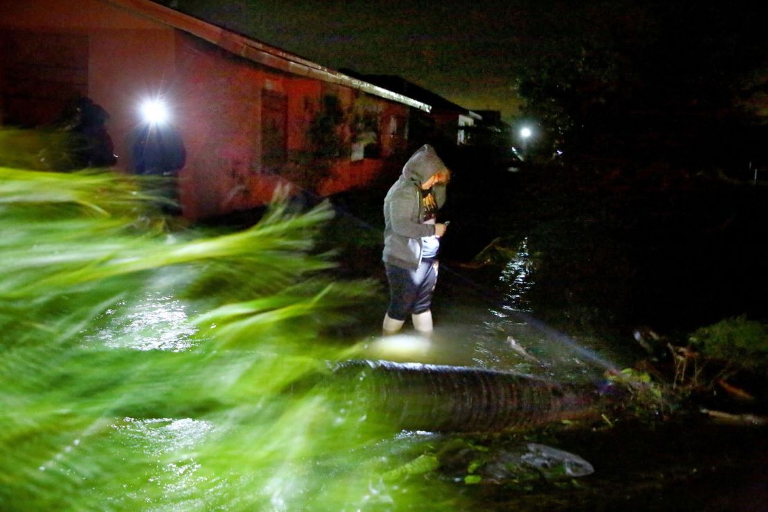
But that risk isn’t necessarily obvious to newcomers, and there is no central resource to help homeowners understand the threat.
The Federal Emergency Management Agency’s flood maps – which are used to determine insurance requirements policy premiums – were not designed to serve as a general risk-assessment tool for individuals. They also only consider risk based on previous floods, rather than the increasing threat as rainfall rates get higher, sea level rises and storms get stronger.
A recent report from First Street Foundation found that as of 2020, around 8.7 million properties were listed in FEMA’s Special Flood Hazard Areas — but as many as 14.6 million properties are actually at risk of significant flooding.
And that risk grows even higher in the group’s future projections. First Street’s analysis showed that by 2050, Cape Coral will be among the cities with the greatest proportion of properties with substantial flood risk.
“None of the current standards built into public-facing maps, especially federal maps, take into account that change in climate in the future,” Porter said.
Dissuading new growth
As the focus in Southwest Florida turns to rebuilding, the question now is whether state and county officials will discourage growth in these vulnerable areas. They could push residents to build more resilient homes – or give them “carte blanche” to rebuild to status quo, said Larry Larson, director emeritus and senior policy adviser for the Association of State Floodplain Managers and a longtime flood hazard expert.
“The challenge now for Florida will be you’ve got a lot of destroyed buildings, houses and so on,” Larson told CNN. “What are you going to do when you let them rebuild?”
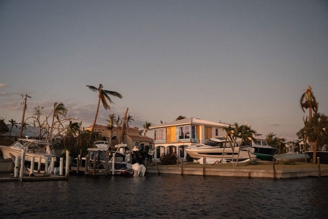
There are a few ways some governments and the private sector can discourage people from buying homes in flood-prone areas. In some instances, the federal or local governments can buy frequently flooded properties and relocate families that live there.
Another way is to show home buyers the information up front. First Street, for example, has partnered with real estate giant Redfin to show prospective buyers how flood-prone a property is. Those estimates take the climate crisis into account.
Porter said Redfin and First Street have seen home buyers steering away from the most high-risk houses on the market.
“We’re seeing people are starting to interact with that data,” Porter said. “They’re looking explicitly at the flood risk scores.”
But it’s not fool-proof. Porter noted that people aren’t necessarily saying no to flood-prone neighborhoods just yet. Instead, they’re looking at lower-risk houses in the same area.
“It doesn’t mean people are moving outside their housing market when they see that level of risk,” Porter said.

