Deep channels discovered under the Antarctic’s so-called “Doomsday glacier” may be allowing warm ocean water to melt the underside of ice, according to scientists collecting data from an area crucial to understanding sea-level rise.
The findings published in The Cryosphere journal show the ocean floor is deeper than previously thought, with more deep channels leading towards the grounding line, where the ice meets the bed.
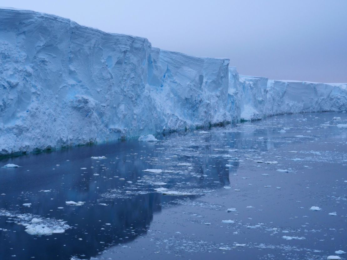
Ice draining from the gigantic Thwaites Glacier into the Amundsen Sea in West Antarctica already accounts for about 4% of global sea-level rise, and scientists say it is highly susceptible to climate change.

Over the past three decades, the rate of ice loss from Thwaites, which is about the size of Great Britain or the US state of Florida, and its neighboring glaciers has increased more than five-fold.
If Thwaites were to collapse, it could lead to an increase in sea levels of around 25 inches (64 centimeters) – and the researchers are trying to find out how soon this is likely to happen.
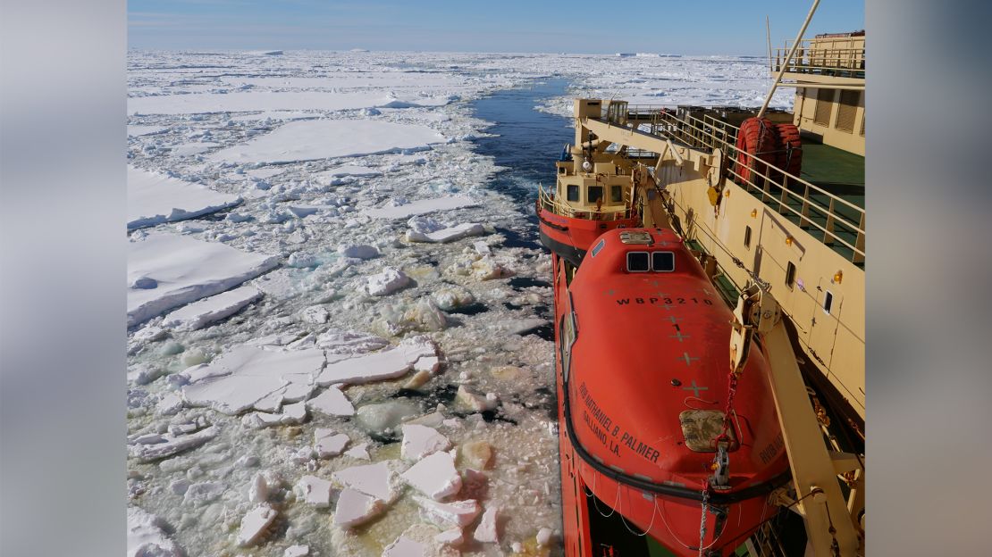
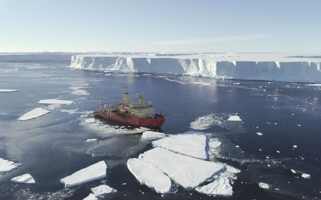
Scientists from the International Thwaites Glacier Collaboration (ITGC) collected data by flying over the glacier in a British Antarctic Survey (BAS) Twin Otter aircraft and mapping the sea floor from the US Antarctic Program icebreaker RV Nathaniel B. Palmer.

The cavities hidden beneath the ice shelf are likely to be the route through which warm ocean water passes underneath the ice shelf up to the grounding line, they said.
“Thwaites Glacier itself is probably one of the most significant glaciers in West Antarctica, because it’s so large, because we can see it’s changing today,” Dr. Tom Jordan, an aero-geophysicist at BAS who led the airborne survey, told CNN.
“And also, we know that its bed dips down, and it gets deeper and deeper underneath the ice sheet, which means that, theoretically, you can get a process called marine ice sheet instability. And once it starts to retreat, it will just keep retreating.”

Jordan said the next phase was to incorporate the data from the channels, some of them 2,600 feet (800 meters) deep, into simulations of how the ice sheet will respond into the future.
Before now, he said, the ITGC has not been able to precisely quantify sea-level rise in West Antarctica “because there was so much uncertainty about understanding the ice sheet processes and how the glaciers will over time respond.”
“I think this is a big step towards helping understand that,” he added.
Jordan said that suggestions of geoengineering and blocking the channels is not logistically feasible at such a remote site. A simpler solution would be to “tackle climate change.”
“At the end, we will be able to say to governments and policy-makers, this is what’s going to happen … we will actually have a proper, well-constrained estimate of what’s going to happen to Thwaites Glacier,” said Jordan.
Once scientists can demonstrate the expected sea-level rise relating to West Antarctica, he said, they will have more evidence when calling for action to mitigate climate change.
The team collected data from the glacier and adjoining Dotson and Crosson ice shelves from January to March 2019. Exceptional sea-ice break up in early 2019 enabled the icebreaker to survey more than 2,000 square kilometers of sea floor at the glacier’s ice front.
The area surveyed had been hidden beneath part of the floating ice shelf extending from Thwaites Glacier, which broke off in 2002, and was then often inaccessible due to thick sea-ice cover.


