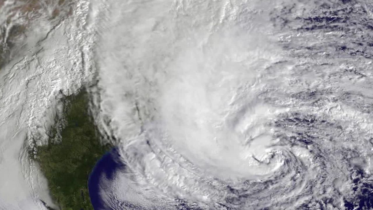
The research team at Colorado State University is now forecasting 20 named storms for this hurricane season.
This is the earliest in a season that the group has made a prediction this high. The only other time CSU researchers predicted 20 or more storms was in their August update of the record-breaking 2005 season.
Nearly all seasonal forecasts for the 2020 Atlantic hurricane season have been well above normal. Current and long-term conditions across the Atlantic continue to favor a 2020 season that is well above average. When combined with the new record set for the earliest fifth named storm, the high prediction doesn’t seem so bold.
The previous record for the earliest E-named storm was 2005. While this season is on a record-breaking pace and comparisons can easily be made to the 2005 season, much more goes into a season than the number of storms.
A quick comparison of the first five named storms for this year so far shows that 2005 had three hurricanes including a category 4 and 5. And each of the first five storms in the 2005 season made landfall in the Caribbean or Gulf of Mexico. Meanwhile, the first five storms of the 2020 season have all been short-lived tropical storms and only two have made landfall.
Ingredients are ripe for an active season
The team at Colorado State continues to point to many key factors that favor above-average activity across the Atlantic.
For starters, sea surface temperatures across much of the hurricane-breeding grounds in the Atlantic are well-above average and have been for several months. Storms feed off warm ocean waters and can grow stronger under those conditions. Warm ocean temperatures are expected to remain in place moving into the peak months of hurricane season – August to October.
“Another reason for active CSU hurricane season forecast is odds of El Niño this summer/fall are extremely low,” according to Colorado State researcher Phil Klotzbach. When El Niño is present, it reduces Atlantic hurricane activity due to increased vertical wind shear – changes in wind speed and direction with height that prevent hurricanes from building.
In addition to these favorable seasonal conditions, the researchers also expect strong tropical waves to move off Africa’s coast. These tropical waves will be able to exploit the warm water, which is why the group is also expecting nine hurricanes - four of which will be major hurricanes (category 3-5).
A storm could form off the East coast
Just as records were set for the earliest 5th named storm, Tropical Storm Edouard has harmlessly come and gone from the US. All eyes now fall now on the low pressure that is over the Southeastern US.

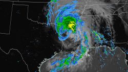
This low pressure system is already bringing widespread rain from the Gulf Coast to the Carolinas. Still, the system doesn’t currently pose a threat for developing into a tropical storm since it is over land.
Check the latest forecast models
However, the National Hurricane Center projects the storm to gradually move offshore from the Carolinas by Thursday. As the system does, it will hit the Gulf Stream’s warm waters and could quickly develop into a tropical storm.

If that happens, it will be named Fay and it will also set another record. The earliest sixth named storm was also in 2005 but didn’t occur until July 21st.
Regardless of whether this system becomes a tropical storm, it will bring heavy rain to the Carolinas over the next several days. Widespread totals of 3 to 6 inches with isolated higher amounts will be possible along the Carolina coast.
After moving offshore, the system is predicted to move parallel to the coast of the mid-Atlantic and Northeast. It will bring moderate rain and increased surf and rip currents toward the end of the week and into the weekend.

The full extent of the impacts won’t be known until the system moves offshore.


