Story highlights
Global forecast models help improve information released to the public
There have been hits, misses over the years in major hurricanes, storms
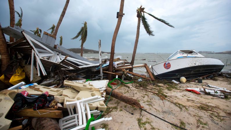
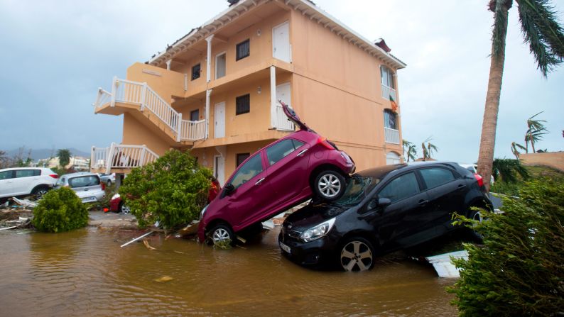
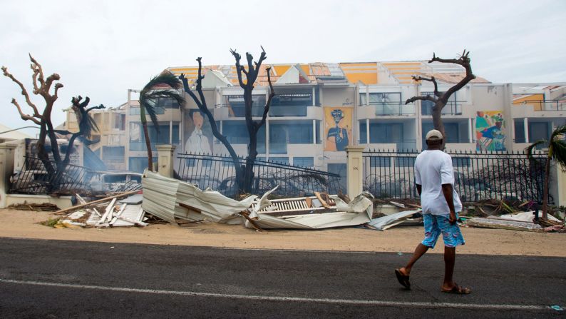
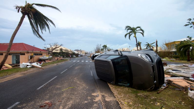
An alphabet soup of forecast models is helping the National Hurricane Center keep residents along the US East Coast up to date on the peril posed by Hurricane Irma.
Their names don’t exactly roll off the tongue. There’s the ECMWF from Europe and GFS from the United States. And HFIP, while not a model per se, is aimed at better gauging intensification of storms.
Regardless, they provide forecasters with significant tools to help track a storm. What are the top global models and what are their relative track records?
The key players
There are numerous models being followed this week, but Ryan Maue, a meteorologist with WeatherBell Analytics, mentions four to watch. Experts generally consider the US federal government’s Global Forecast System, or GFS, and the European Centre for Medium-Range Weather Forecasts, the ECMWF, to be the premier models. He also cites a Canadian model and the Met Office in the United Kingdom.
“You want to have multiple models,” said Maue. “Different models perform better or worse at different times.”
These models use all kinds of measurements – from wind, temperature, precipitation and cloud movement – to forecast where a storm is likely to go next.
Emphasis on the word “likely.”
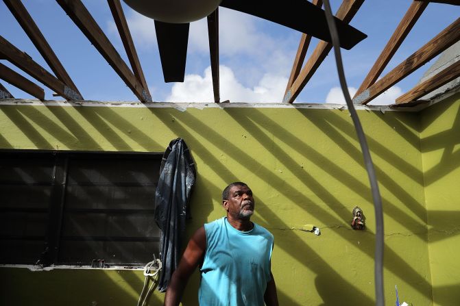
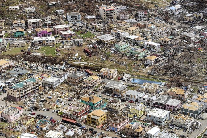
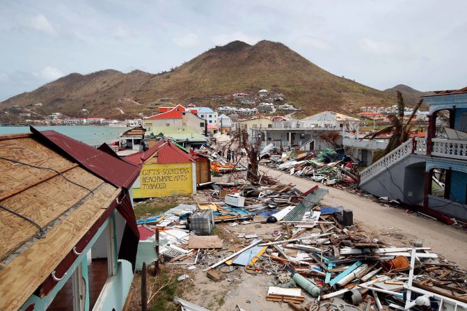
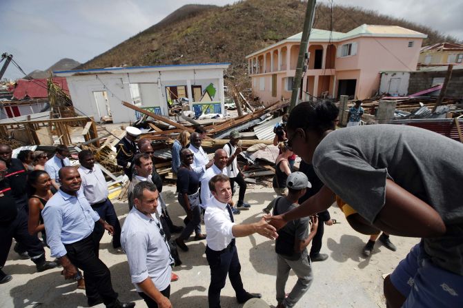
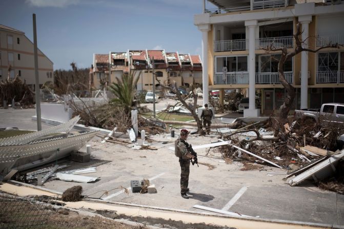
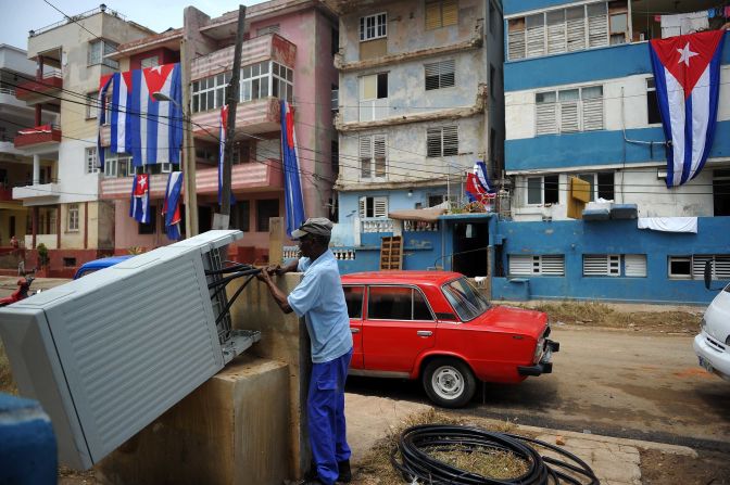
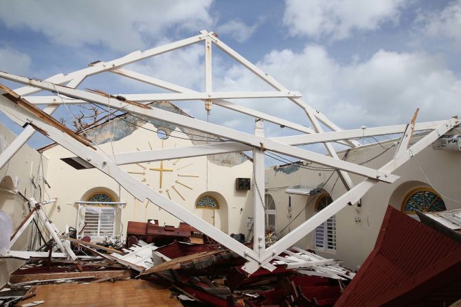
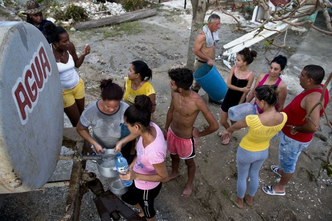
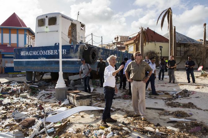
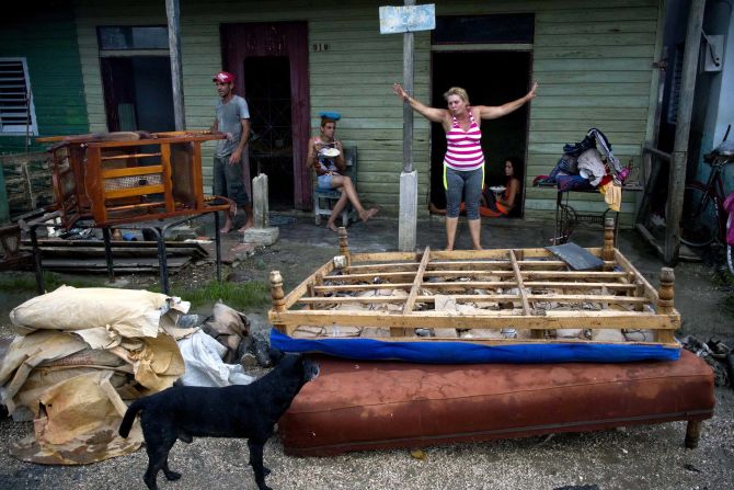
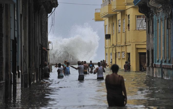
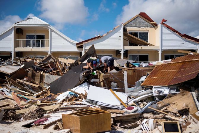
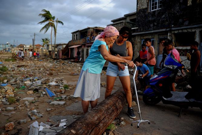
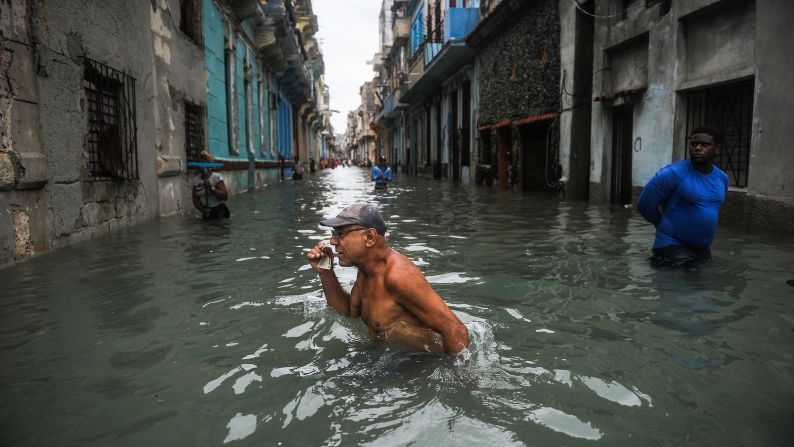
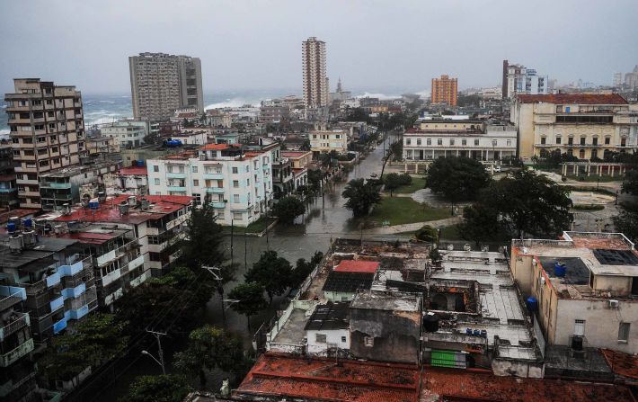
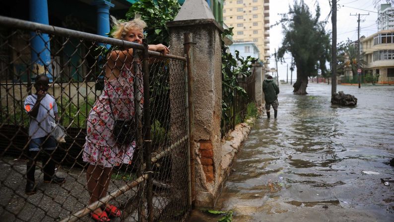
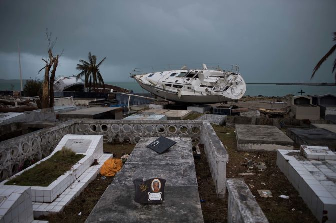
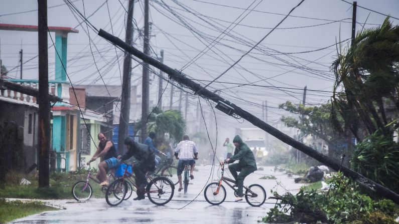
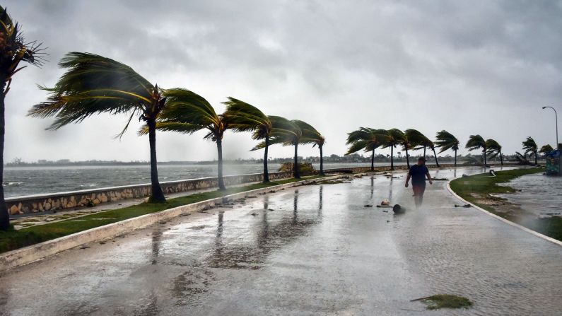
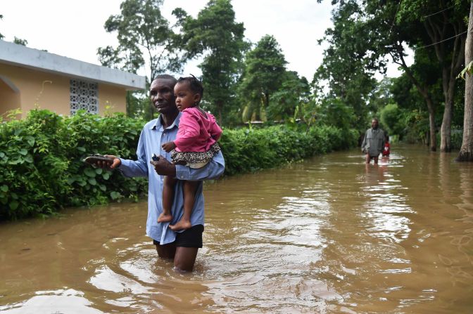
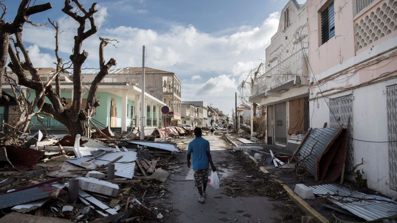
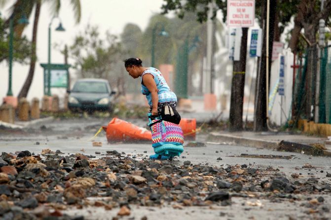
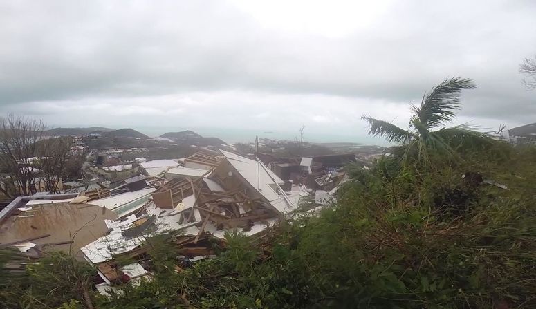
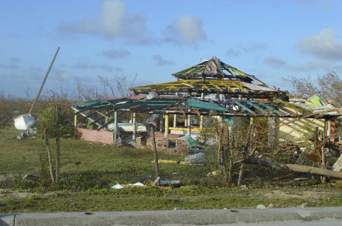
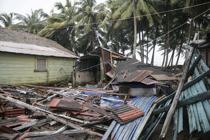
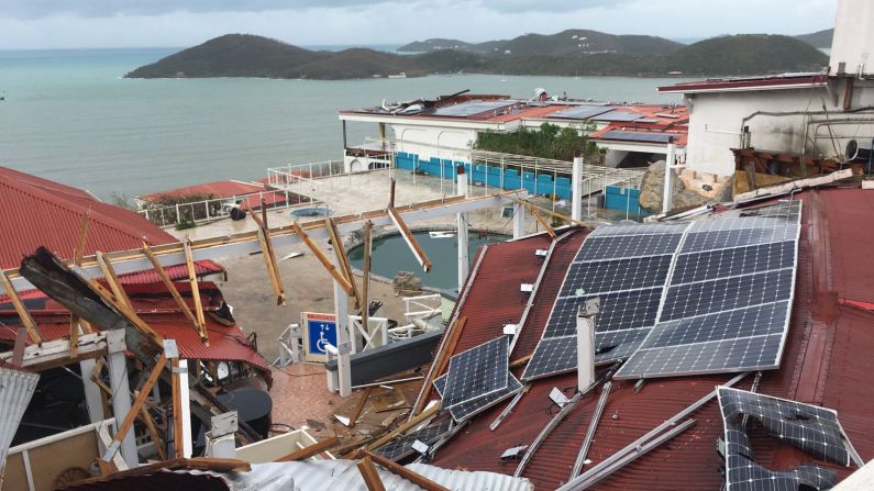
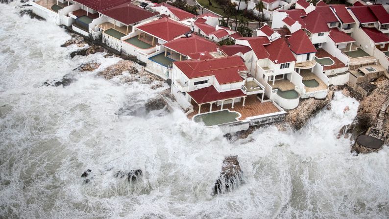
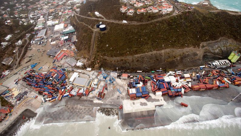
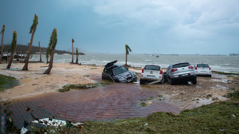
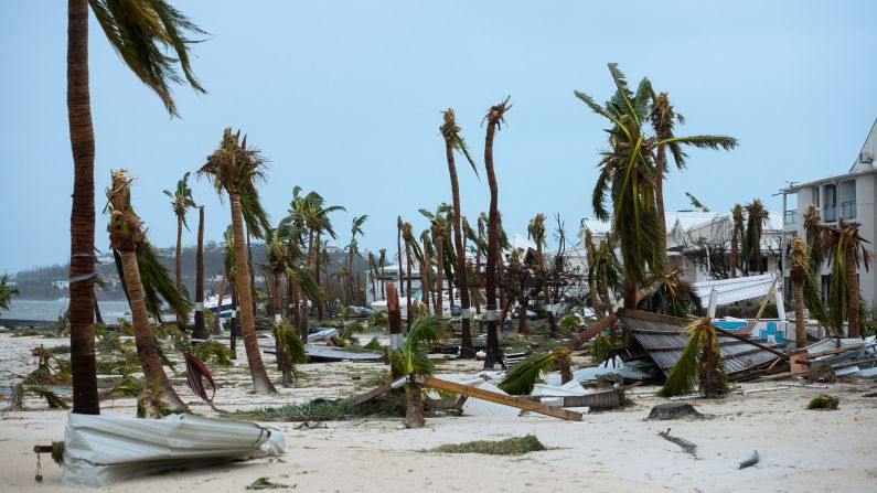
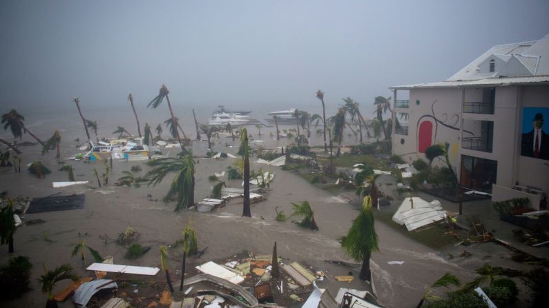
Hurricane Irma tears through Caribbean
Forecasters use computers, history of a region and skills they have developed over the years to come up with the best outlook. Sometimes, predicting a storm’s path or intensity can involve a little luck.
Each model can have slightly different “solutions,” said Maue. “That variability can help you determine where there is uncertainty.”
While ECMWF has generally had a better track record with Atlantic basin storm predictions, it’s important to note that the National Hurricane Center has access to all kinds of information, the meteorologist said. People shouldn’t look at these models as prizefighters going at each other, he emphasized.
How have the European and US models performed?
Still, the European model and GFS have had moments where they have shined – or hovered in the gloom.
Maue said ECMWF has been spot on with Irma, while GFS has been off a bit.
The European model has performed a little better on forecasts when a storm is seven or eight days out, he said. If you are a company or a military officer who has to make decisions about people and assets, you stick with the best performer, Maue said. “Giving you a tiny advantage over that coin flip is important to some people.”
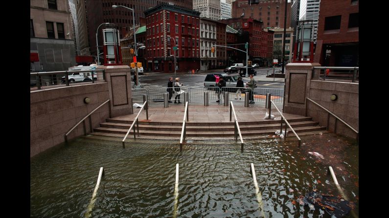
ECMWF did well with Joaquin (2015), Matthew (2016) and Superstorm Sandy (2012).
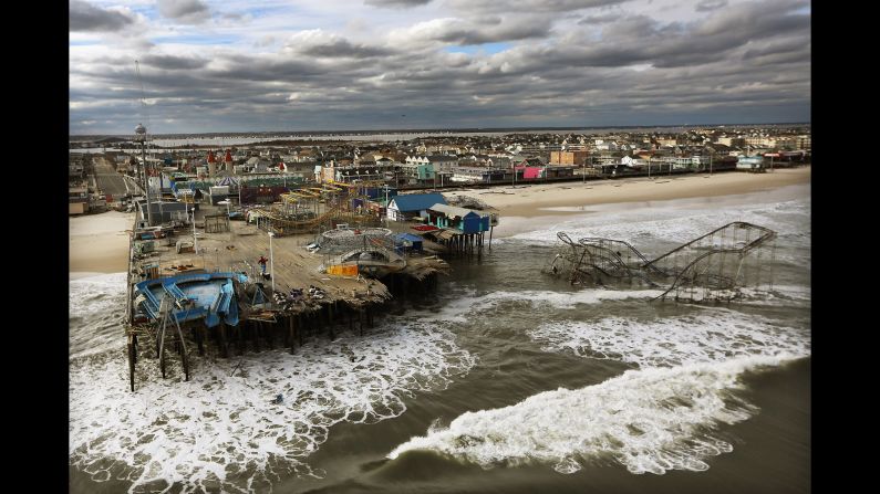
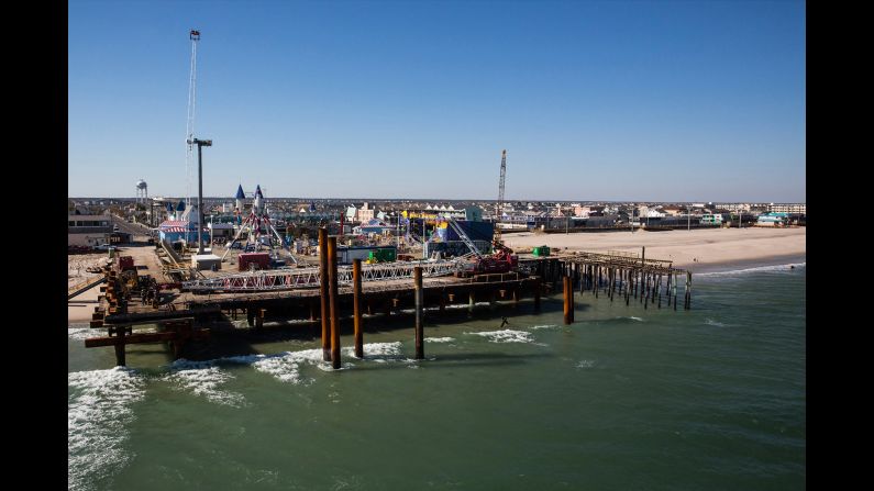
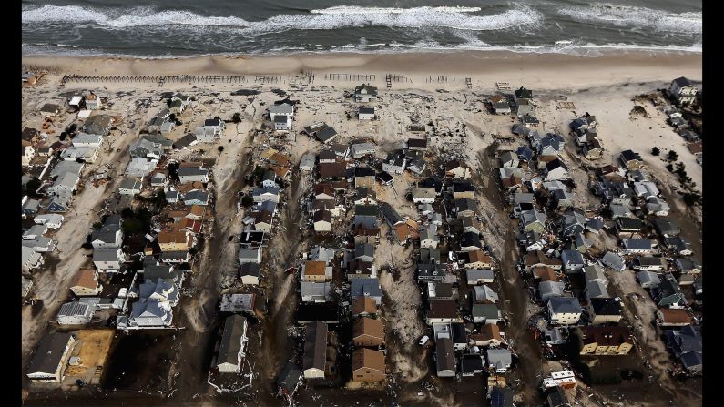
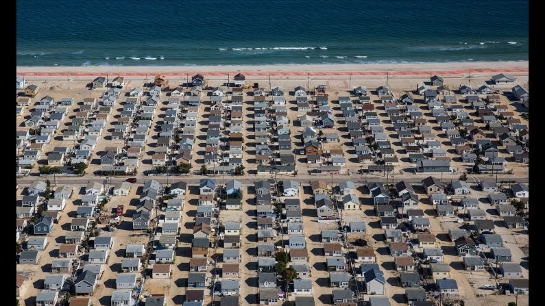
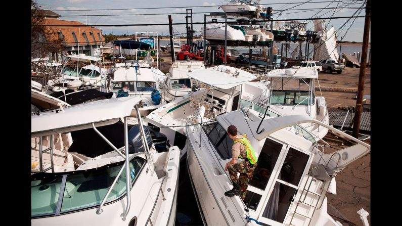
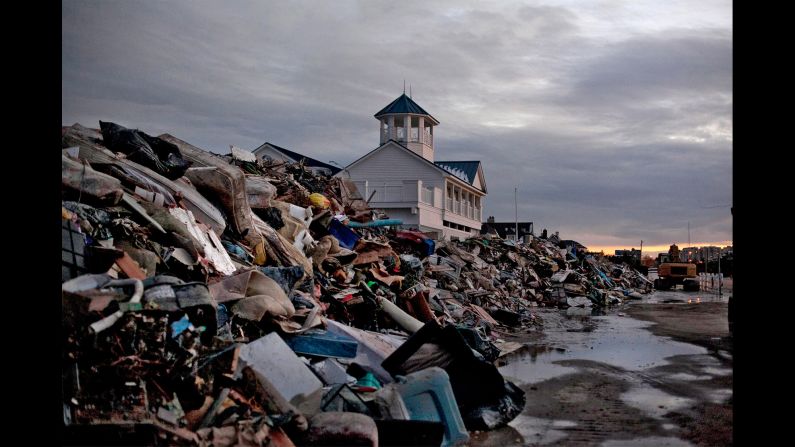
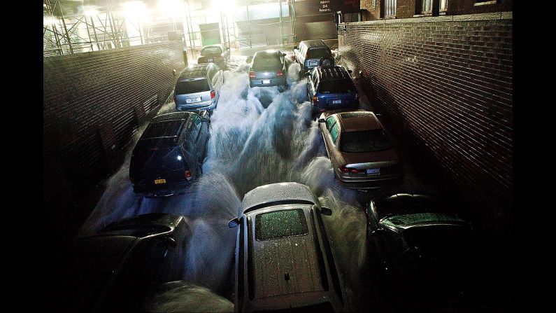
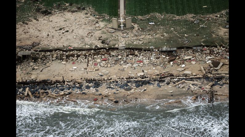
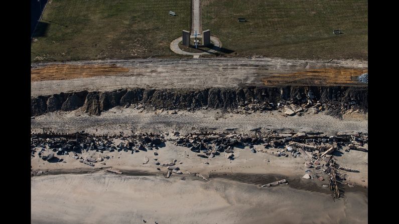
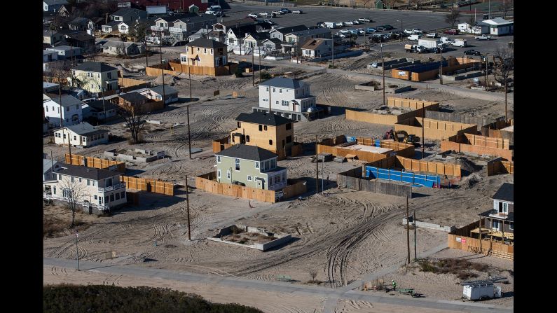
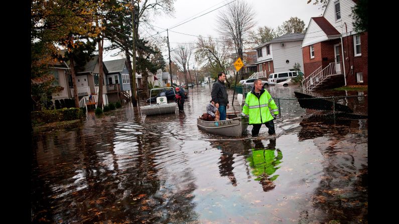
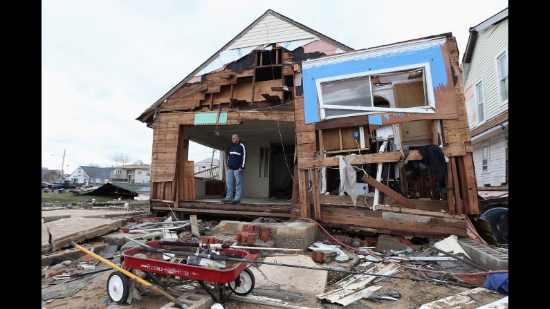
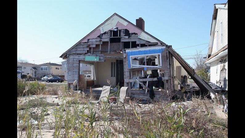
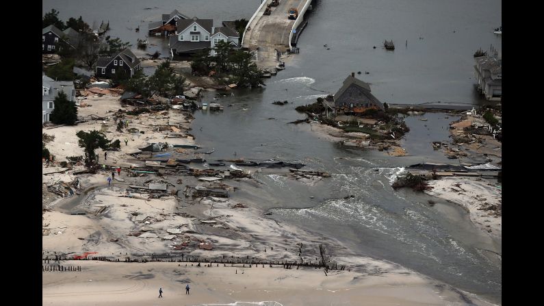
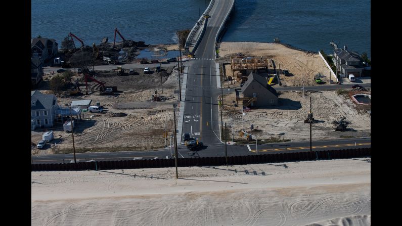
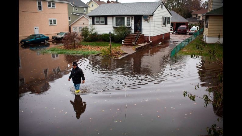
Photos: Hurricane Sandy then and now
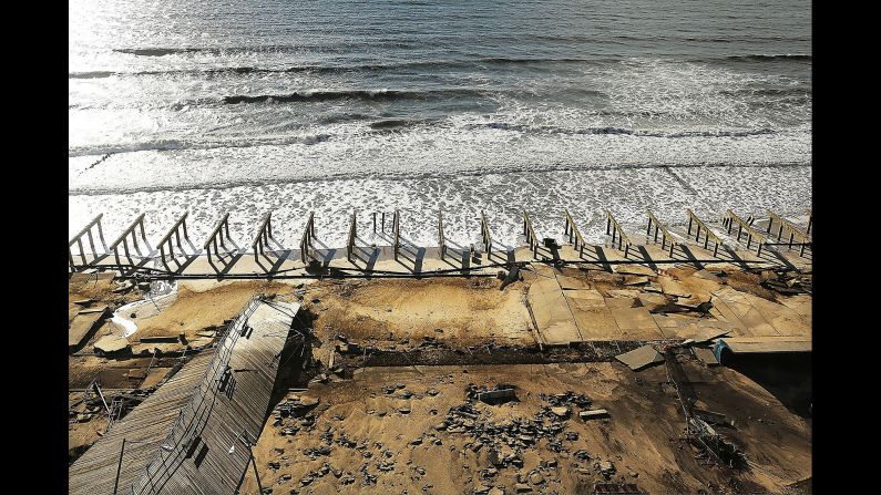
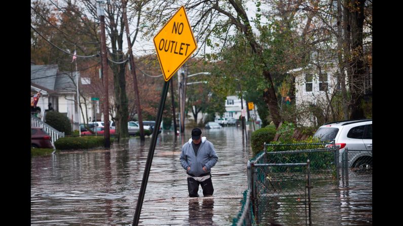
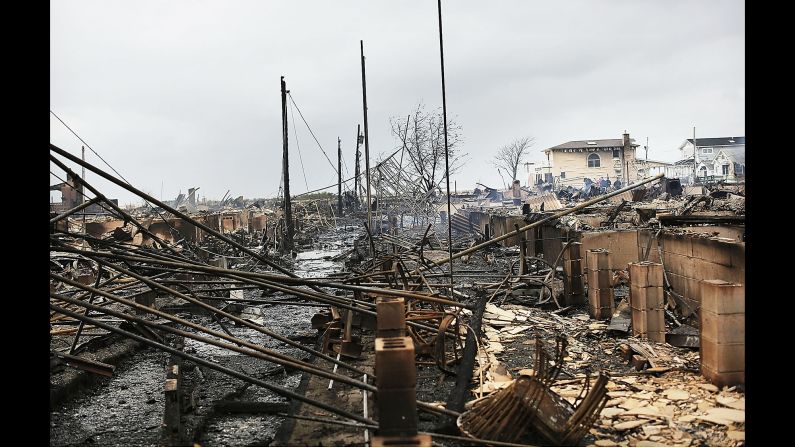
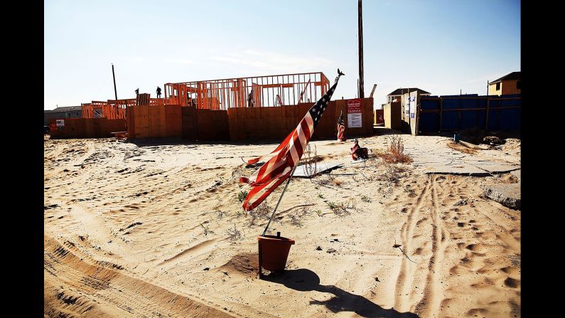
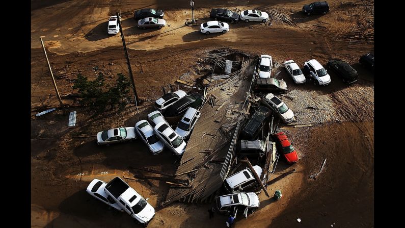
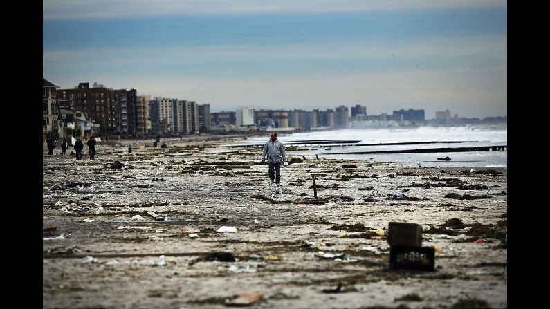
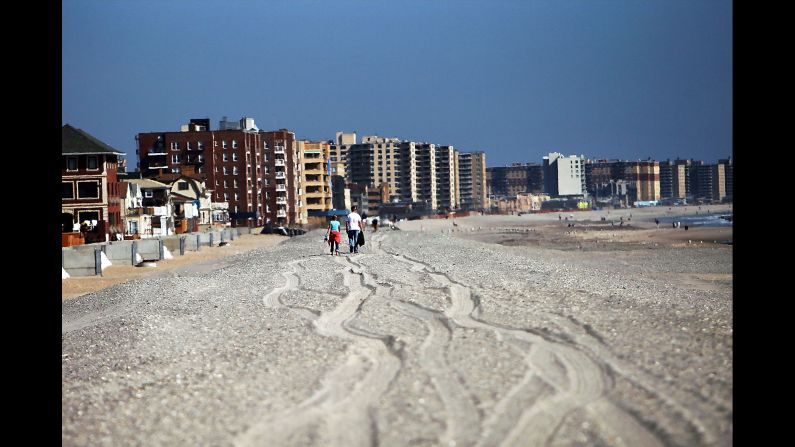
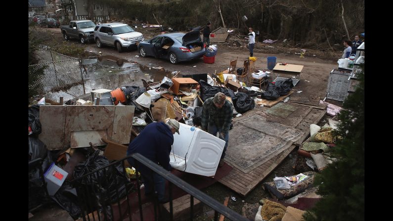
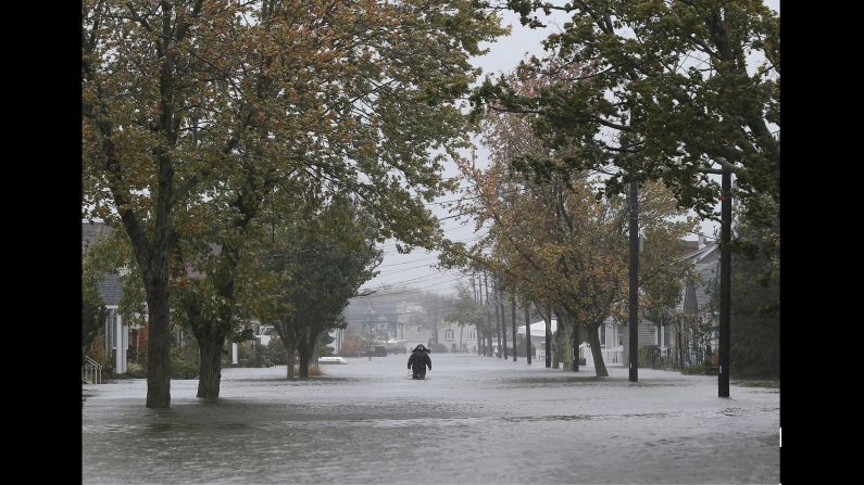
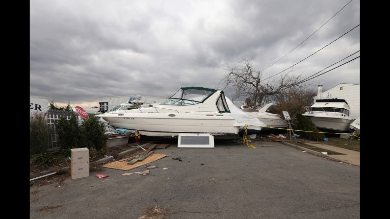
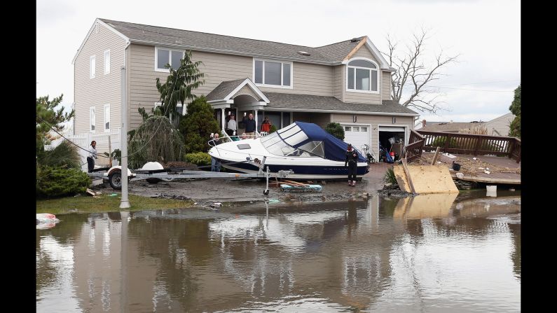
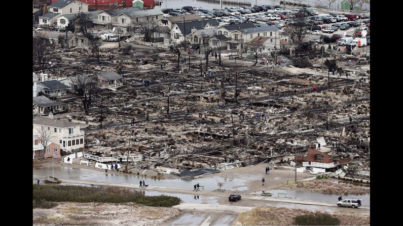
With Sandy, the ECMWF correctly predicted a landfall in the Northeast nearly a week ahead, while the GFS continually kept the storm offshore in what became a major black eye for the US weather-modeling industry.
There have been examples in which the GFS model has outperformed its European counterpart, such as with a few major snowstorms in the Northeast. After one failure, those behind the Euro model “spent some time fixing it,” Maue said.
After Sandy, more money was pumped into the top US model but, interestingly, the GFS has performed worse since then in some cases, he said. The system at some point will be replaced with a newer model. “Everything under the hood will be changed in a dramatic way.”
One plus for the US system: Forecasts are put out four times a day, as opposed to ECMWF’s two. And GFS data is free; the Europeans sell their information.
“The European model does take longer to run, there is more data in the European model,” said CNN meteorologist Chad Myers. “And so, therefore, it can be, slightly, more accurate. But the American model is pretty close.”
How does hurricane center use these forecasts?
The center works from these global models, its own analysis, historical records and proprietary information. And don’t forget years of experience among its staff.
The various predictions – called “spaghetti models” because of their visual appearance on a forecast map – often differ on predictions for a storm’s path and landfall.
In Irma’s case, during the first several days of forecasting, there were differences in some models. They have since agreed that Florida is the first US target. Considering all the options can be a dizzying recipe for panic, particularly for those who live along the coast.
Because of the variety, the National Hurricane Center produces a cone graphic that covers a large territory over which the storm might affect the United States. It’s designed to warn residents several days in advance of storm conditions so they can prepare or evacuate.
CNN meteorologist Taylor Ward said the center uses “individual models, ensembles of various models, and consensus models. The consensus model is essentially an average of several of the top performing models.”
An Irma advisory issued Thursday afternoon made a reference to how ECMWF and the National Oceanic and Atmospheric Administration’s Hurricane Forecast Improvement Project corrected consensus models.
“These two models have been performing very well during Irma. This adjustment also results in a westward shift of the track near Florida and northward,” the hurricane center said.
Where does science need to catch up?
Maue, of WeatherBell, said more powerful computers and a way to coalesce various bits of information, including satellite data and weather balloons, are needed.
And he emphasized the need to learn more about clouds and temperatures in the upper atmosphere. “We can’t send weather balloons everywhere in the world.”
Forecasters and meteorologists need to be able to zoom into small pieces of information so they can get a better big picture, Maue said. He expects major advances in the next decade.
CNN meteorologists Judson Jones and Brandon Miller and CNN’s Joe Sterling contributed to this report.


