Australia has asked Google to remove pictures on its Maps service taken from the top of Uluru, the sacred Aboriginal monolith that visitors were banned from climbing last year.
Google Maps currently hosts several user-uploaded images from the top of the site, taken before the ban came into place, as well as a Street View path recorded by a climber in 2018.
But Parks Australia, which looks after the country’s natural treasures, has asked the tech giant to take down pictures uploaded by users after complaints from the Anangu Aboriginal people, Uluru’s traditional owners.
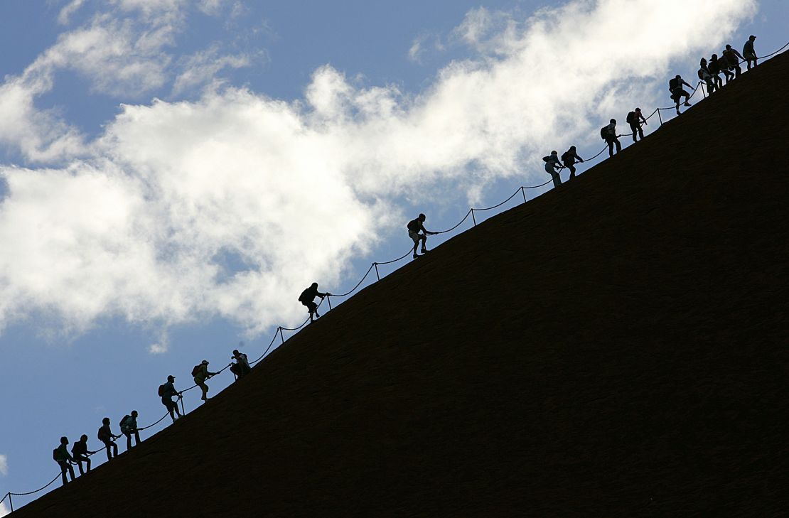
Tourists were prohibited from traversing the sacred site in late 2019 after the Anangu people said it was being trashed by visitors eroding its surface, dropping rubbish and polluting nearby waterholes.

Google is “supportive of this request and is in the process of removing the content,” Parks Australia said in a statement.
“Parks Australia alerted Google Australia to the user-generated images from the Uluru summit that have been posted on their mapping platform and requested that the content be removed in accordance with the wishes of Anangu, Uluru’s traditional owners, and the national park’s Film and Photography Guidelines,” the statement added.
A spokesperson for Google told CNN in a statement: “We understand Uluru-Kata Tjuta National Park is deeply sacred to the Anangu people.”
The company added that it removed the imagery “as soon as Parks Australia raised their concerns about the user contribution,” but pictures from the summit remained visible on the platform on Thursday.
Tens of thousands of tourists climbed the site, formerly known as Ayers Rock, each year until it was closed in October 2019.
But use of the rock has long enraged the local people, who had called for the climb to be banned since Uluru-Kata Tjuta National Park was placed in their hands in 1985.
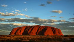
Uluru, a UNESCO World Heritage site, sits 450 kilometers (about 280 miles) west of Alice Springs.


