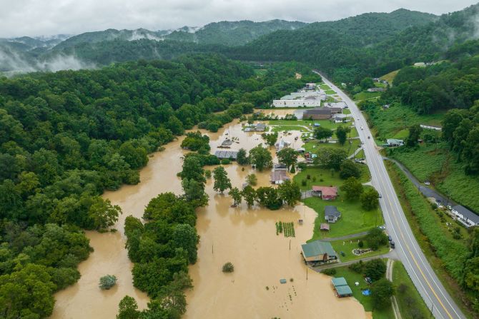
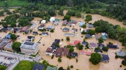
Extreme weather on both ends of the spectrum has thrashed parts of the US over the past week – one of the many signals that climate change is here now, scientists say.
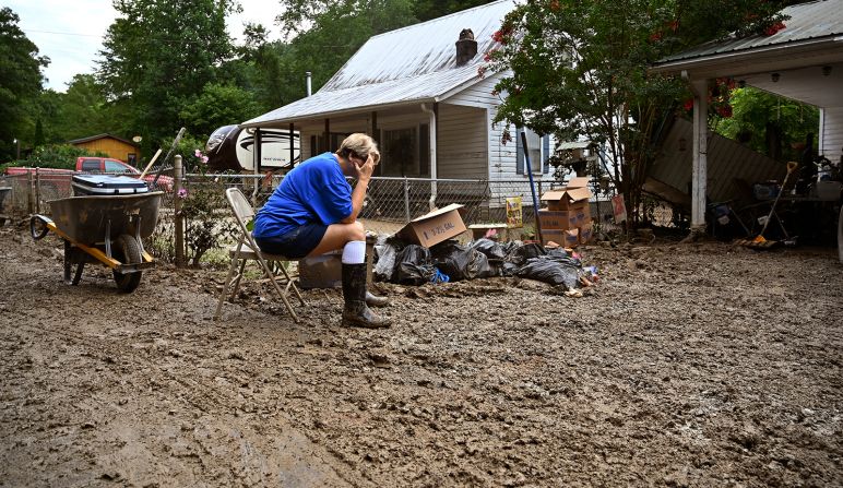
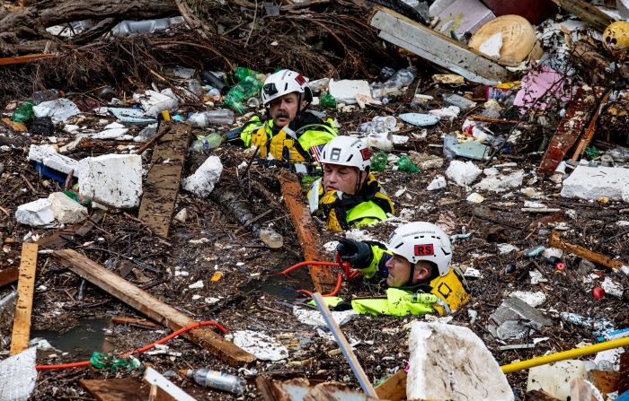
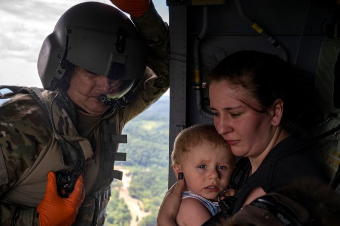
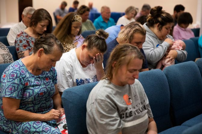
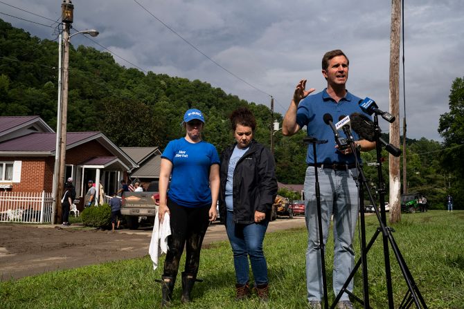
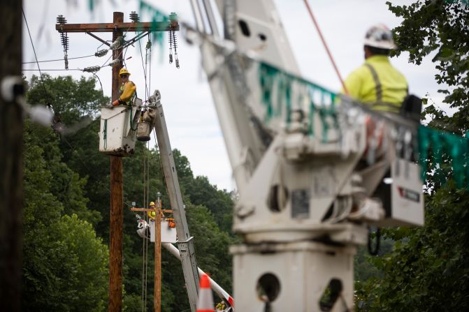
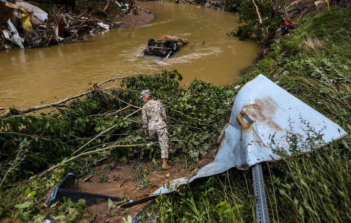
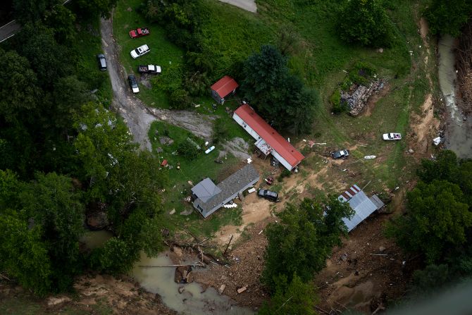
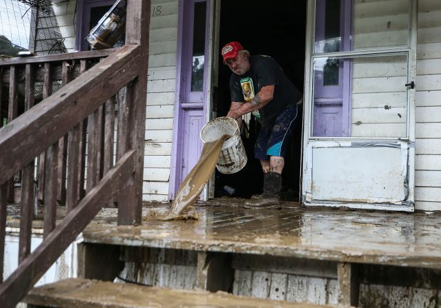
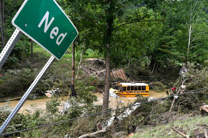
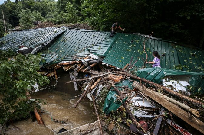
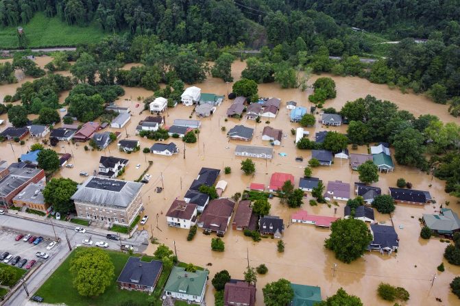
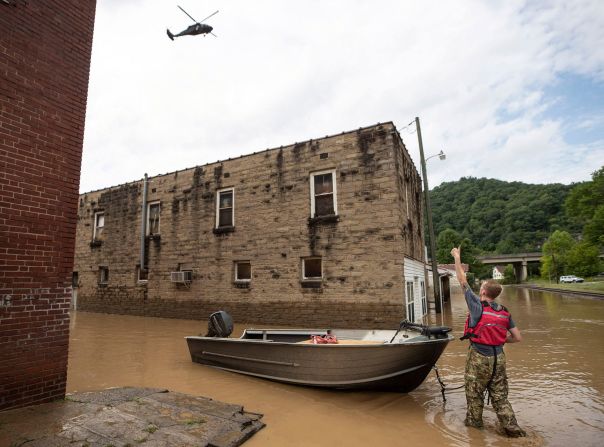
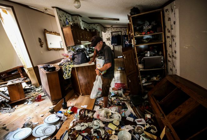
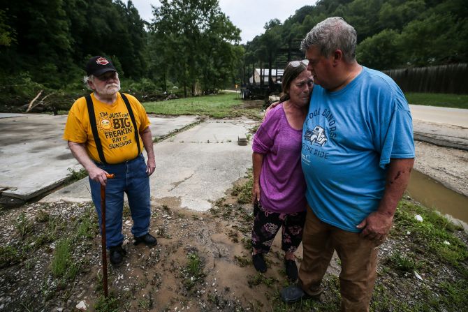
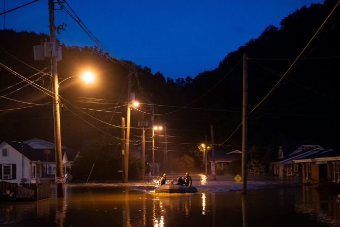
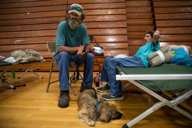
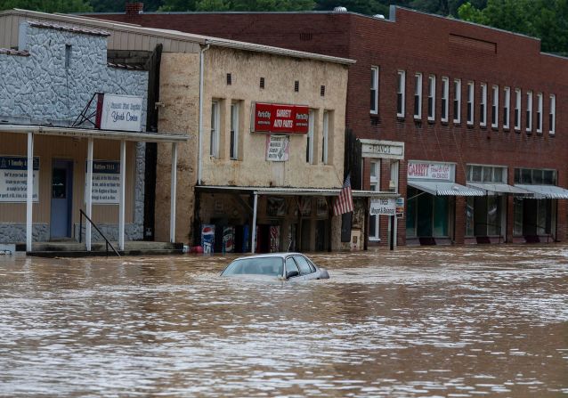
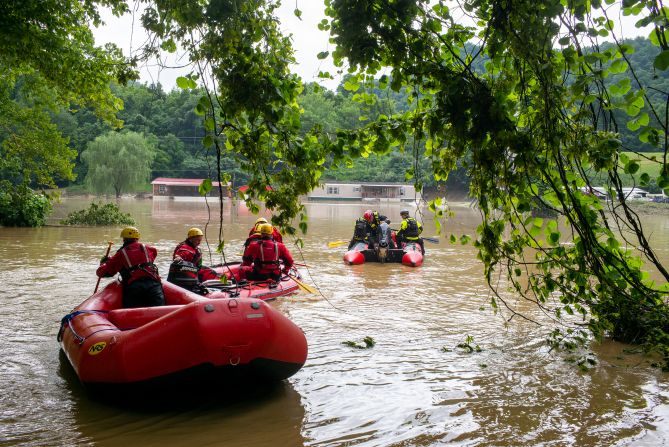
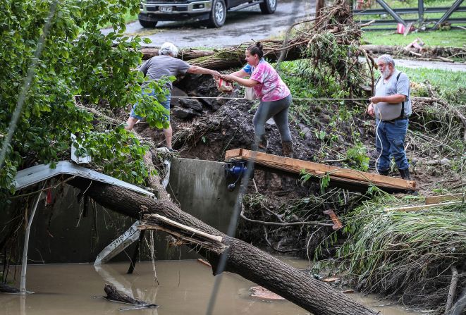
On the one hand, overwhelming rainfall triggered two ultra-rare floods last week, one in the St. Louis area and another in eastern Kentucky that has left dozens dead or missing.
On the other, a fiery drought has fueled California’s largest wildfire of the year so far – the McKinney Fire – which burned so hot over the weekend that massive pyrocumulus clouds erupted into the atmosphere.
Expect more of these extremes as the planet warms, said Kevin Reed, a climate scientist at Stony Brook University, and prepare for them.
“Every weather event has some flavor of climate change in it because it’s impossible to decouple them,” Reed told CNN. “It’s another sign that climate change is here. It’s not just a challenge for the next 400 years from now or 50 years from now; in reality, it’s something that we need to rapidly adjust to, adapt to and become more resilient to now.”
Climate experts anticipate heavy rain events to increase in intensity and frequency as the planet warms, since warmer air can hold more moisture. That concept is easier for most people to grasp in the case of a hurricane, Reed said.
For instance, Hurricane Harvey in 2017 dumped more than 60 inches of rain in parts of Texas and slammed the coast with an 8-foot storm surge. Scientists have said climate change made Harvey’s rainfall more extreme.
But that same process plays out over land as water evaporates from the soil, grass, crops and forests. And more moisture can be drawn out of soil and vegetation the warmer it gets.
“Part of that is the general circulation of the atmosphere-ocean system which moves air around the world and brings moisture into areas over land,” Reed said. “Another aspect is that, over the last 100 plus years, the land surface has actually warmed more than the ocean, so the largest signal that we’re actually seeing in surface temperature is occurring overland, and inland as well.”
In pictures: Catastrophic flooding in Kentucky
What it adds up to is a higher risk of dangerous flooding.
“While extreme events and floods have sort of always been a part of a climate cycle, they can get more frequent and they can be a lot more intense as the planet is warmed,” Beth Tellman, co-founder of flood database Cloud to Street and assistant professor of geography at the University of Arizona, told CNN. “The intensity of rainfall from the storm systems in both St. Louis and eastern Kentucky are the reality and the physical manifestation of (climate change) happening now in our lives.”
Andrew Smith, a co-founder and director at the flood modeling group Fathom, analyzed the St. Louis flooding event and noted that while there is a strong connection between the climate crisis and extreme rainfall, researchers have also pointed to population growth as one of the factors that will increase the risk and impact of flooding.
“In many ways, it’s these isolated flash flood events in urban centers that will see a lot of amplification in hazard and risk in the future,” Smith said. “We have more faith in finding (a climate change connection) to these kinds of localized extreme rainfall events.”
“They do seem to be happening more frequently,” he added.
The flooding, wildfire, heat waves and drought paint a picture of a nation in peril. And as one part of the country recovers from extreme rainfall, another can be scorched by deadly fires.
The McKinney fire in Northern California, which exploded in size over the weekend to become the state’s largest so far this year, burned uncontrolled Monday amid the West’s historic drought.
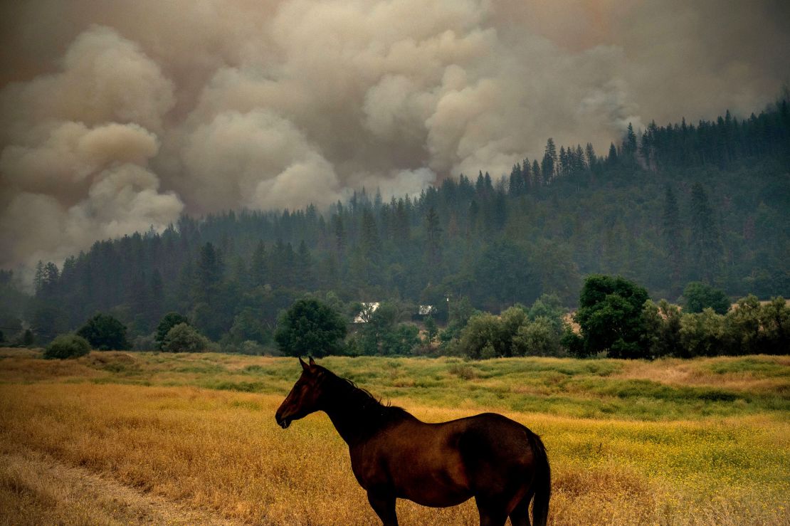
The fire generated its own weather in the form of pyrocumulus clouds, which are triggered by intense heat that forces air to rise rapidly and are a sign of how large and hot the fire was burning.
At the same time, forecasters at the National Weather Service warned that “dry lightning” was possible Monday – a phenomenon that is made more likely by exceptional drought. The dry air evaporates the storm’s rain before it ever hits the ground, leaving only lightning strikes capable of sparking new fires and fueling existing ones, CNN meteorologist Robert Shackelford said.
The climate crisis is ultimately intensifying the water cycle, not only making dry periods drier and wet periods wetter. All this, Tellman said, is another reason why policymakers need to put more focus on adaptation – helping communities adapt to the climate crisis and grow more resilient against extreme weather.
“Passing a climate bill and moving forward politically in the US is really important and linked to preventing and trying to reduce the amount of rain that’s falling from the sky that’s causing events like we’re seeing in Kentucky and Yellowstone and St. Louis,” Tellman said.
“This is a real impact on our lives, so we need more mitigation, good climate legislation, and we also have to invest in adaptation to reduce impact for the future,” she added. “It’s going to get a lot worse if we don’t limit warming.”


