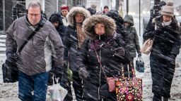
In a matter of minutes, visibility for people brave enough to go out onto streets in the Northeast deteriorated quickly Wednesday as whipping winds brought snow squalls.
One moment people could see down the block, and the next, they could barely see their own hands. Minutes later, it was clear again.
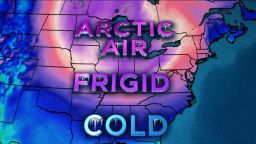
The squalls ripped through the Northeast, bringing brief near-whiteout conditions to New York, Philadelphia and other cities. They are part of an Arctic plunge hammering the northern part of the contiguous United States, causing the deaths of at least nine people.
A 26-vehicle accident on Route 222 in Pennsylvania came after visibility deteriorated rapidly, officials said. Seven people were sent to a hospital, Wyomissing police Chief Jeffrey R. Biehl said. There was no immediate word on the nature of their injuries, he said.
A motorist who was caught in the squall said, “The roads seemed OK but the snow started and the visibility went to impossible quickly.”
Matt McDermott, who is a pollster, according to his Twitter account, posted a video time-lapse showing the change in scenery over 10 minutes as the storm screamed into New York City.
In the distance, an American flag blows fully unfurled in the wind, but two-thirds of the way through the video, the flag and the buildings around it are hard to see.
The National Weather Service said people affected by the squalls would see a quick burst of snow, combined with winds gusting over 30 mph, that will make it nearly impossible to see and make travel on the roads very dangerous.
Airports will likely be impacted as the band pushes through, meteorologists said. LaGuardia Airport had a ground stoppage, according to the Federal Aviation Administration.
Maine remains under a squall warning, according to the weather service. A squall is a sudden increase of wind speed by at least 18 mph.
Deaths linked to brutal weather
As millions grapple with the frigid temperatures, at least nine deaths have been linked to the extreme weather this week.
Officials in Iowa said there have been four deaths there this week, including the discovery of a University of Iowa student on Wednesday.
The man, a sophomore, was found unresponsive about 3 a.m. CT behind a campus recreational facility. According to the National Weather Service, the temperature in Iowa City at that time was about 21 below zero and it had been below zero all day.
There have also been storm-related deaths reported in Illinois, Minnesota, Indiana and Wisconsin, authorities said.
It’s getting colder
Earlier, officials in the Midwest warned of almost instant frostbite as temperatures in the region plunged below zero. Some state offices were closed and postal workers won’t deliver mail in 10 states. Thousands of flights have been canceled along with dozens of train services – most of them in and out of Chicago.
Over the next few days, more than 200 million, or nearly 70% of the continental United States, will continue to see temperatures at or below freezing. More than 80 million, or 27%, will see temperatures continue to be below zero.
It’s only getting chillier. Meteorologists predict at least 40 record lows will be set in the Midwest and Northeast after sundown Wednesday, including in New York and Washington, which are expecting single-digit temperatures.
With at least nine deaths linked to the extreme conditions this week,authorities are urging people to bundle up, stay inside and check up on the elderly and vulnerable in what experts are describing as “the coldest air in a generation.”

Chicago will be below zero for days
While most of the Midwest will see frigid temperatures, Chicago will be “the epicenter of the extreme cold,” CNN meteorologist Dave Hennen said.
Chicago could reach a record low temperature of 27 below zero by Thursday morning. The daytime high in the city Wednesday was 10 below zero. Officials there are setting railroad tracks on fire because the extreme cold can cause defects.
“Chicago officially fell below zero prior to 6 p.m. (Tuesday) at O’Hare and it may not get back to zero until Thursday evening,” National Weather Service in Chicago tweeted.
Wednesday night could bring record temperatures in the city and region. Forecasts predict a low of negative 27, the lowest temperature on record in Chicago, and 35 to 40 below zero in northern Illinois, where the record is negative 36, set in 1999.
Almost 4,700 flights involving US airports were canceled for Wednesday and Thursday, including more than 3,500 in and out of Chicago airports, according to FlightAware.com.
Amtrak canceled all service to and from Chicago on Wednesday due to weather, including short-distance trains and long-distance overnight trains. It said it would resume most long-distance service on Thursday. Amtrak typically operates 55 trains daily to and from the Chicago hub.
In Minnesota, frostbite can hit in minutes
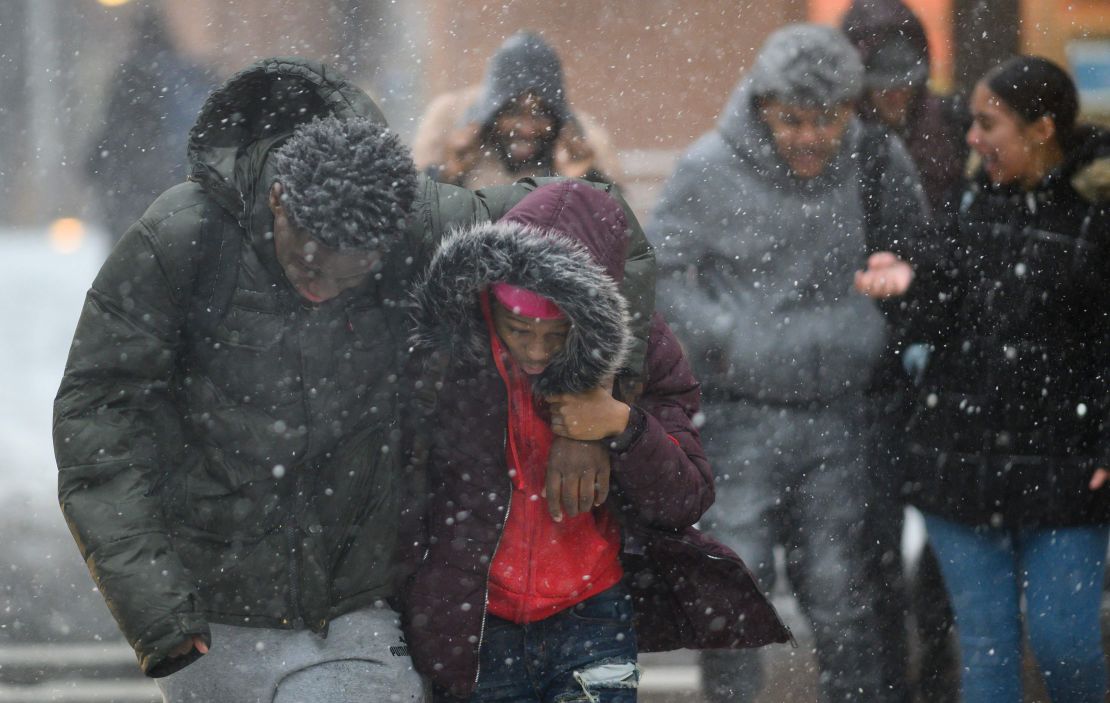
Frigid temperatures are not the only concern. In Minnesota, blustery weather brought rare wind chills of negative 60. In Ponsford, the wind chill was negative 66, CNN meteorologist Michael Guy said.
“These are VERY DANGEROUS conditions and can lead to frostbite on exposed skin in as little as five minutes where wind chill values are below -50,” the National Weather Service tweeted. “Best thing you can do is limit your time outside.”
Hennen described it as the “coldest air in a generation.” Temperatures will plunge to 20-40 degrees below zero between Tuesday and Thursday in the Upper Midwest, Hennen said.
In northern Minnesota, wind chills were forecast to drop to 65-70 degrees below zero, which would rival the coldest wind chill ever recorded in the state (71 below) in 1982.
Frostbite is an issue in central Iowa, too
In central Iowa, wind chills are also a major concern.
The National Weather Service forecast dangerous wind chills of negative 45 degrees for Des Moines, minus 57 for Waterloo and negative 60 for Mason City into Wednesday night.
“This is the coldest air many of us will have ever experienced,” it tweeted.
Wind chill refers to how cold people and animals feel when they’re outdoors, according to the weather service. It’s how much heat is lost from exposed skin while it’s windy and cold. The faster the wind, the more heat is drawn from the body, which lowers the skin temperature and, ultimately, the internal body temperature.
Frostbite is caused by freezing of the skin and underlying tissues. It’s most common on the fingers, toes, nose, ears, cheeks and chin. Severe cases can kill body tissue.
CNN’s Eliott C. McLaughlin, Andrea Diaz, Marlena Baldacci, Dave Hennen, Joe Sutton and Dave Alsup contributed to this report.


