Story highlights
NEW: More than a foot of snow fell in Boston, there were 9 inches in NYC
There was good news as center of storm stayed over the ocean
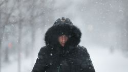
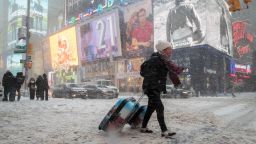
Frigid water poured into the streets of some coastal New England cities Thursday, as a bomb cyclone pounded the region with record-high tides and blinding snow.
“Stay away from the coasts,” the National Weather Service in Boston tweeted.
On Thursday afternoon, the tide gauge at Boston Harbor matched its record at 15.1 feet – previously set during the blizzard of 1978.
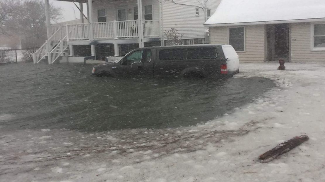
In Hull, Massachusetts, just to the southeast of Boston, the icy mess inundated street with water above the wheel wells of cars and coming up to the doors of homes.
Some people were forced to flee their homes. In one case, the fire department used a front-loader to rescue a woman from the second floor of her home, photos from neighbor Jennifer Olivieri show.
Latest developments
• Fast-moving weather: The storm was moving quickly and, fortunately, the center of the system and its highest winds stayed offshore, CNN meteorologist Tom Sater said,
• Snow slows: Forecasters at the National Weather Service said snowfall amounts will diminish in southern New England, but wind and cold temperatures will be threats on Friday.
• Deadly conditions: At least 16 people have died this week due to severe weather, officials said. Six deaths were reported in Wisconsin, four in Texas, three in North Carolina, and one each in Michigan, Missouri and North Dakota.
IN PHOTOS: Brutal cold torments the US
• Going dark: More than 13,000 people in along the East Coast were without power, according to reports from five states.
Winter storm wipes out thousands of flights
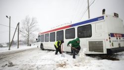
• Stay home: Boston Mayor Marty Walsh told residents too many people were getting their cars stuck. “We want to clear the streets.”
Weak phone connection? Get the text-only version of top stories, also en Español
Roads fill with water
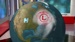
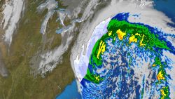
The bomb cyclone, which developed overnight, occurs when a low-pressure system has a significant, rapid drop in atmospheric pressure.
In Quincy, Massachusetts, one street turned into an icy river.
More than 4,300 US flights were canceled for Thursday, according to FlightAware.com. New York’s LaGuardia airport reopened later in the day, and JFK International was expected to follow suit on Friday morning. Passengers were urged to check with airlines on flight information.
At least 1,000 Friday flights were canceled, FlightAware said.
Hundreds of East Coast schools were closed and grocery store shelves were emptied.
In Hampton Beach, New Hampshire, water was as high as a garbage container knocked on its side.
Extreme winds hamper power restoration
In Connecticut, Gov. Dan Malloy urged residents to stay off roads. About 2,000 people in the state were without power, he said, and getting the lights back on could take longer than usual because of the wind.
At an evening news conference, the governor said third-shift state employees should go to work Thursday night after the worst of the storm passed.
Between 8 and 16 inches of snow fell, he said.
The National Weather Service said 13.2 inches came down in Boston; 9 inches covered the ground in Manhattan; 9.2 fell in Hartford, Connecticut; and 13.9 inches were measured in Providence, Rhode Island.
Track severe weather across the country
In Caribou, Maine, the National Weather Service office tweeted a video of strong winds, saying: “Blizzard conditions tonight.”
Record-breaking temperatures on the way
Dozens of cities are set to endure record-breaking cold, CNN meteorologist Brandon Miller said.
New York City and Philadelphia will plummet to 3 degrees this weekend. Boston will plunge to 7 degrees below zero – plus up to a foot of snow.
Winds chills will be well below zero this weekend, with some areas feeling like it is minus 40.
How bomb cyclones work
Bomb cyclones often draw colder air in from the north, then blast out icy temperatures.
They frequently occur in North America, when cold air collides with warm air over the Atlantic Ocean – though they’ve also been reported in eastern Asia and South America.
The bomb cyclone now blasting the Northeast actually doubled the rate necessary to earn it that classification.
It rapidly intensified overnight, undergoing bombogenesis – or a pressure drop of 24 millibars in less than 24 hours.
This bomb cyclone dropped 53 millibars in just 21 hours, intensifying faster than any such occurrence in recent history.
CNN’s Tina Burnside, David Williams, Chuck Johnston, Kristina Sgueglia, Nicole Chavez, Jennifer Varian, Keith Allan and Evan Simko-Bednarski contributed to this report.


