Story highlights
Tens of millions of residents from Virginia to Massachusetts under tropical storm watches and warnings
Maximum Wind gusts of 70 mph expected in Cape Cod and Nantucket, Massachusetts
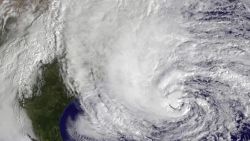
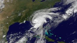
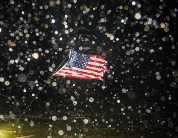
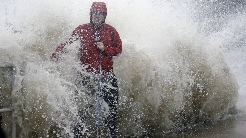
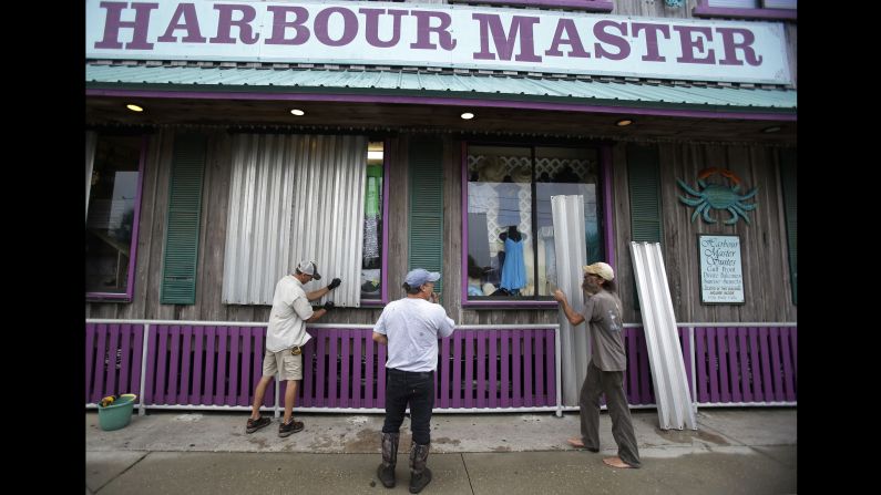
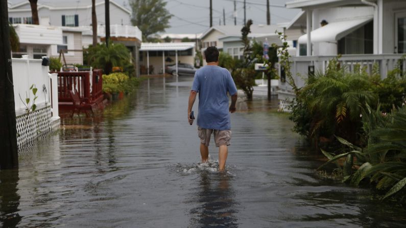
Millions of residents, from Virginia to New England, are expected to remain under tropical storm watches and warnings for the rest of Labor Day weekend as post-cyclone Hermine meanders up the Eastern Seaboard.
Hermine’s march up the East Coast shifted toward the east Sunday, lessening the storm’s impact on coastal New Jersey, Delaware and New York City. But the threat of high winds and storm surges had already ruined holiday plans for many, as beaches closed across the Northeast and were expected to remain closed on Monday.
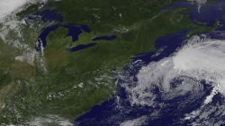
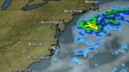
By Sunday night, the National Hurricane Center said the storm was moving about 5 mph out to sea, about 370 miles east of Ocean City, Maryland, and 325 miles southeast of the eastern tip of Long Island.
Around midnight, the National Weather Service’s New York center tweeted that the tropical storm warning for New York City had been canceled but remains active for Connecticut’s coastline and Suffolk, Long Island.
Heading into Monday, Hermine is expected to turn northward, increasing the threat of bad weather for parts of Delaware, eastern Long Island, Rhode Island and Massachusetts, gradually weakening by Monday night and beginning to exit the Northeast US coast sometime Wednesday. A tropical storm warning was in effect from north of Fenwick Island, Delaware, to Sagamore Beach, Massachusetts, including Block Island, Martha’s Vineyard, Nantucket and Delaware Bay south of Slaughter Beach.
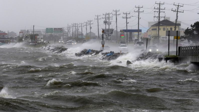
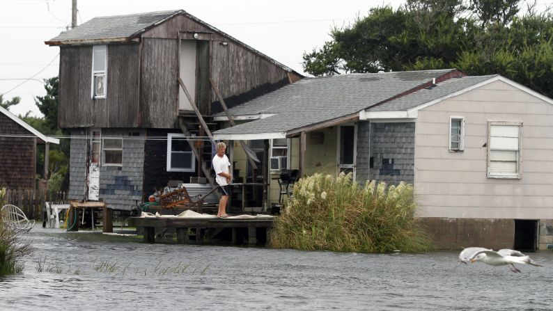
Surging tides from the storm could be as high as 3 feet from Rehoboth Beach, Delaware, to Montauk Point, New York, including the North Shore of Long Island. The National Weather Service warned of possible life-threatening flooding in the next 48 hours on the North Shore of Long Island east of Flushing and on the south shore of Long Island east of Rockaway Inlet.
Rain won’t be much of a problem, because the heaviest rainfall will remain offshore. Only 1 to 2 inches is expected in southeastern Massachusetts, including Cape Cod and the offshore islands.
Out to sea, Hermine is expected to regain hurricane-force winds – about 75 mph – sometime during the remainder of the holiday weekend, although the National Weather Service will not officially call it a hurricane. Instead, forecasters have labeled Hermine a post-tropical cyclone.
Tropical-storm-force winds extend from the center as far as 230 miles, with maximum sustained winds near 70 mph and even higher gusts.
Storm brings out determined celebrators
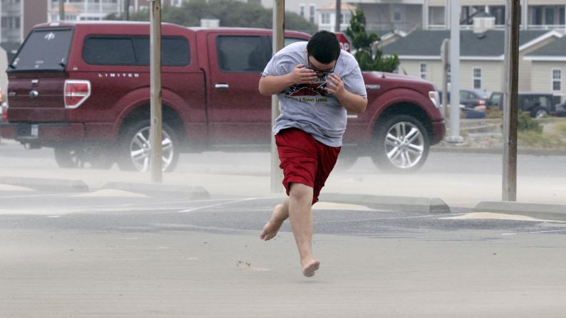
Greg and Margee Germaine weren’t letting Hermine ruin their wedding anniversary celebration Saturday in Atlantic City, New Jersey. They managed to enjoy cocktails on the beach – while getting blasted by sand.
“It may not be swimming weather, but it’s been beautiful,” Margee Germaine said, despite overcast skies and heavy surf.
Winds there Saturday afternoon were 25 mph, with gusts of 35 mph, the weather service said.
Elizabeth Brister, 23, saw her Labor Day weekend plans in “A.C.” blow away in the wind.
“Right now, it’s looking like we’re not having much of any beach fun,” she said. “I was just pelted in the face with sand and I actually have sand in my contact right now. It kind of hurts.”
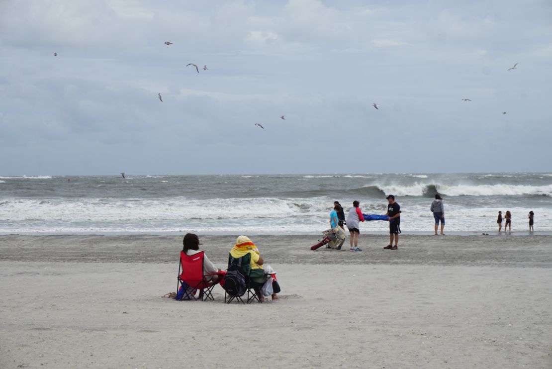
Masbahul Islam, a pedicab driver who has worked in Atlantic City for six years, said the Labor Day crowd is much smaller than in years past. The cancellation of two concerts due to the weather kept a lot of people away, Islam said.
A handful of people came out to the beach near the famous Steel Pier amusement park, mostly to look at the rough seas. The pier was closed Saturday.
New Jersey Gov. Chris Christie declared a state of emergency Saturday for Ocean, Atlantic and Cape May counties.
“The impending weather conditions constitute an imminent hazard,” he said in a statement. “This situation may become too large in scope to be handled by the normal county and municipal operating services.”
Labor Day cancellations
Because of concerns about rough seas, dangerous surf and strong storm surge, no swimming was allowed on New York beaches Sunday. New York City Mayor Bill de Blasio said they will remain off-limits to swimmers and surfers on Monday, too.
“My No. 1 concern is the dangerous rip currents we are going to experience,” the mayor said in a statement. “We are reminding people to refrain from going into the water. Even though the forecast has improved, the waters will still be extremely dangerous.”
Long Island beaches remain closed, Gov. Andrew Cuomo said.
Hermine storms into Florida
Maryland Gov. Larry Hogan declared a state of emergency for 12 counties along the Eastern Shore and Southern Maryland.
Two deaths reported
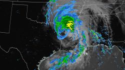
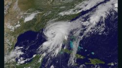
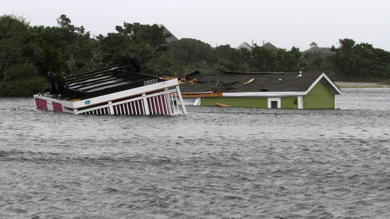
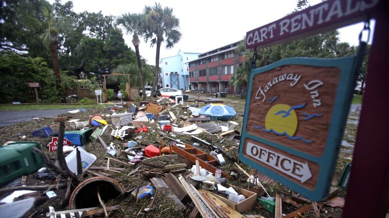
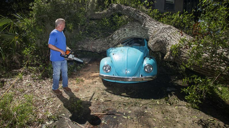
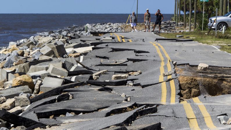
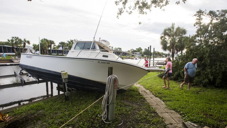
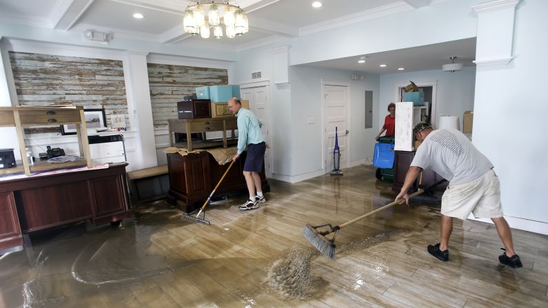
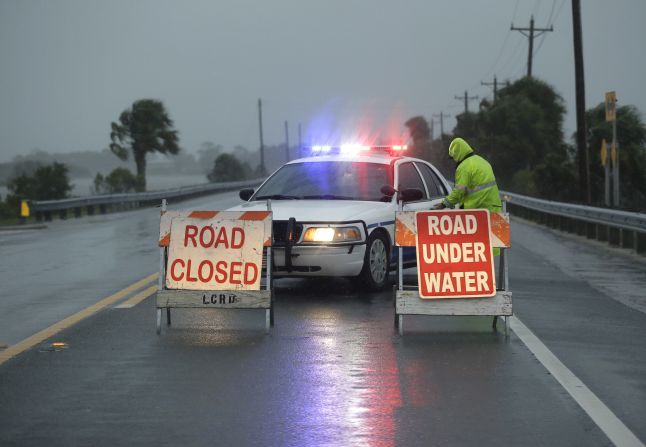
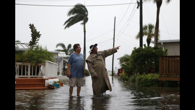
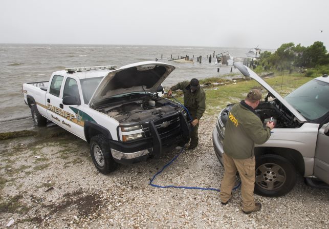
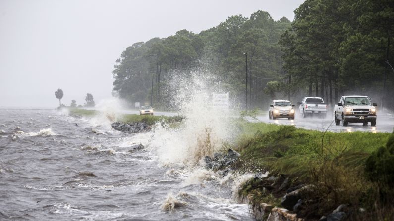
When Hermine ripped into St. Marks in Florida’s Big Bend region just before 2 a.m. Friday, it became the first hurricane to come ashore in the state since Wilma struck 11 years ago.
One person died in Florida as Hermine approached. John Mayes, 56, was sleeping in a tent behind a gas station in Ocala, about 65 miles northwest of Orlando, when a tree fell onto him Thursday night, the Marion County Sheriff’s Office said.
A medical examiner’s office has yet to determine whether the storm was the cause, Florida Gov. Rick Scott said.
One person died Saturday when a tractor-trailer overturned while crossing a bridge in eastern North Carolina amid high winds from Hermine, a spokesman for the state’s Department of Public Safety, Michael Baker, said. The identity of the truck driver has not been released.
CNN’s Steve Almasy, Sonia Moghe, Ray Sanchez, Joe Sutton and Steve Visser contributed to this report.
