Story highlights
NEW: Roughly 80,000 people have been evacuated, an official says
Cyclone Phailin is expected to hit east coast states of Odisha and Andhra Pradesh
The tropical cyclone, now over the Bay of Bengal, is expected to make landfall Saturday
Odisha's weather service warns of a 3-meter storm surge, gales and heavy rainfall
Preparations are under way on India’s east coast ahead of Saturday’s expected landfall of a massive cyclone now gathering strength in the Bay of Bengal.
Tropical Cyclone Phailin is expected to make landfall somewhere near the border of Odisha and Andhra Pradesh states in India.
The cyclone, which is packing sustained winds of 155 mph (about 250 kph), with gusts of up to 190 mph, could hit densely populated areas that are vulnerable to flooding.
Roughly 80,000 people have been evacuated from low-lying areas in the region, with many leaving on foot or by bicycle, said Kamal Lochan Mishra, the Odisha Disaster Management Authority deputy general. Evacuations are continuing, he said.
Some fear a repeat of what happened on October 29, 1999, when Cyclone 05B, also known as the Odisha Cyclone, made landfall in the same area, causing the loss of more than 10,000 lives.
The strongest tropical cyclone recorded in the Bay of Bengal, it packed winds of 155 mph at landfall and caused more than $2 billion in damage.
Phailin may be less intense than that at landfall and is likely to weaken as it moves on shore, but will still bring storm surges and dump heavy rainfall on inland areas in its path.
The India Meteorological Department warns that Phailin is a “very severe cyclonic storm” and urges the evacuation of coastal areas.
The storm will bring gale-force winds and a storm surge that may reach about 10 feet (3 meters) above the usual tide level and could inundate low-lying areas of the Odisha’s Ganjam, Khurda, Puri and Jagatsinghpur districts and the Srikakulam district of Andhra Pradesh during landfall, it said.
Rainfall, some of it very heavy, is expected in coastal Odisha and northern Andhra Pradesh starting Friday evening, its forecast said.
By Saturday evening, inland areas of Odisha and west Bengal state will also get heavy rainfall, it said.
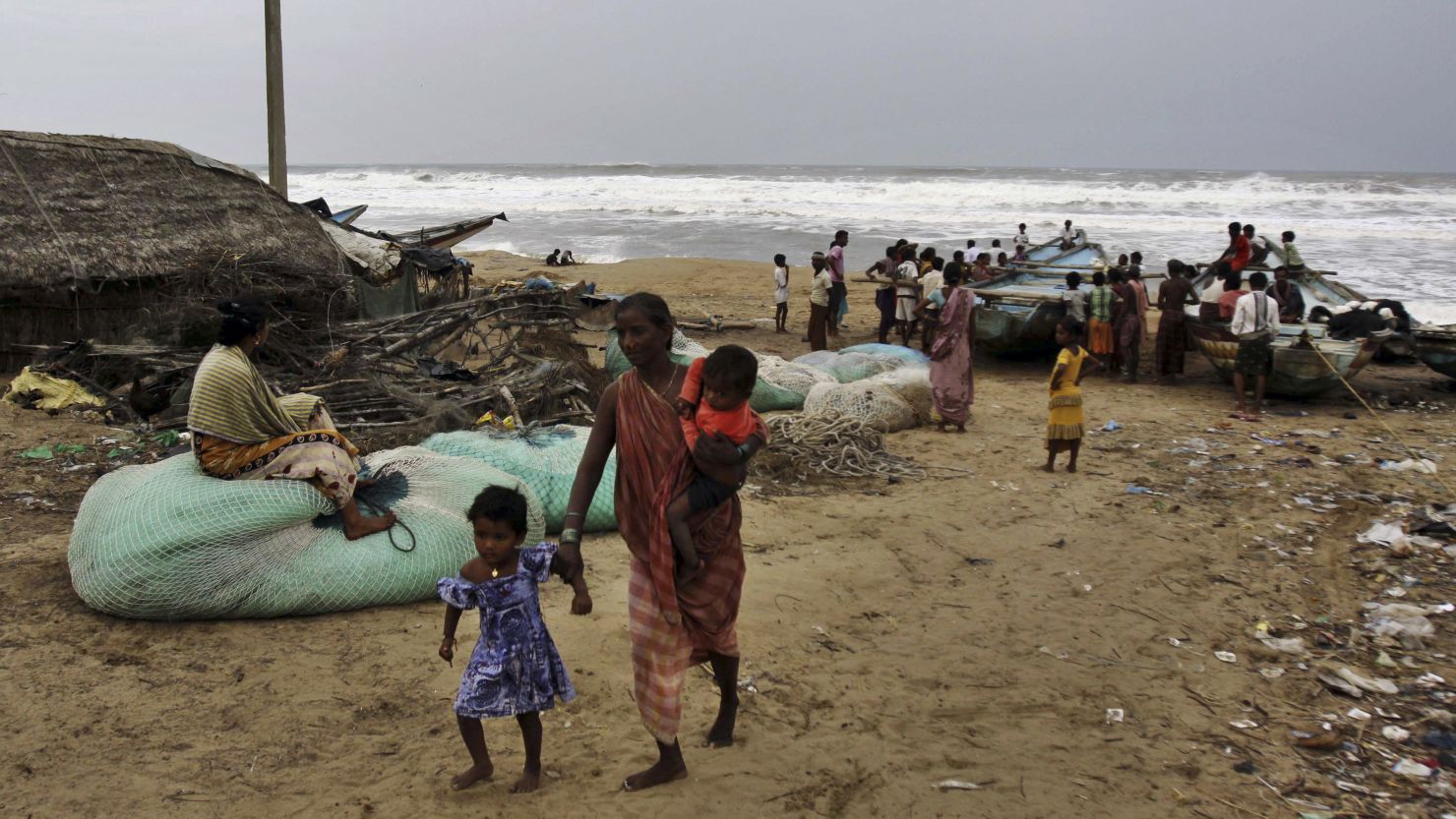
Seas off the coast of Odisha and northern Andhra Pradesh are expected to become extremely rough as the cyclone approaches. Fishing operations are suspended, and all fishermen are advised to return to shore.
The meteorological department warns of extensive damage to so-called kutcha houses, those made of flimsy materials such as mud and bamboo, as well as some damage to old buildings.
Power and communication lines are likely to suffer large-scale disruption. Extensive flooding will also disrupt rail and road traffic, and crops are likely to suffer major damage, it said.
People in affected areas may be at risk from flying debris, as well as the flooding of escape routes. Residents are advised to stay indoors as the cyclone makes landfall, the forecast said.


